Last updated on 2025-11-26


Program Overview
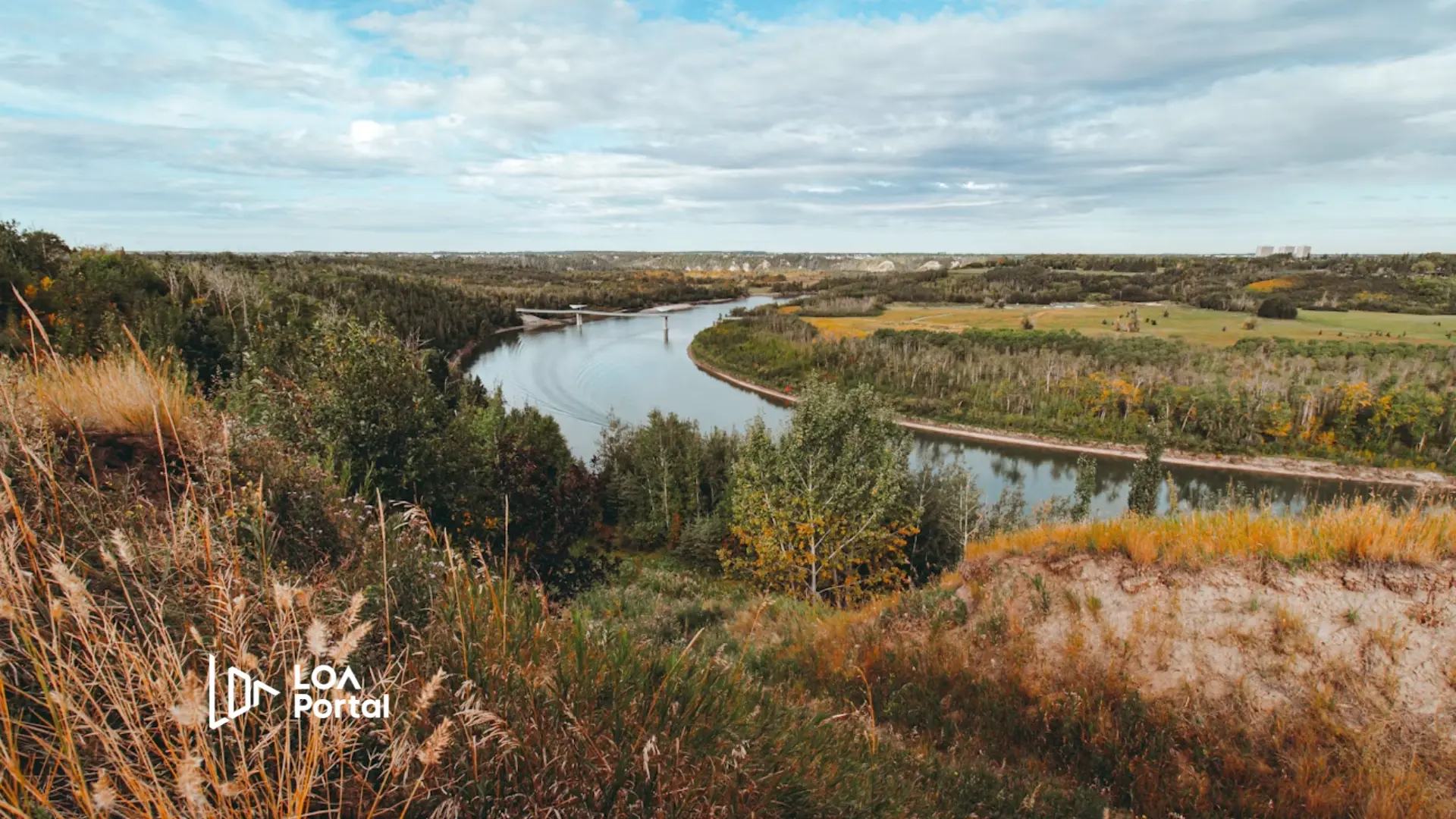
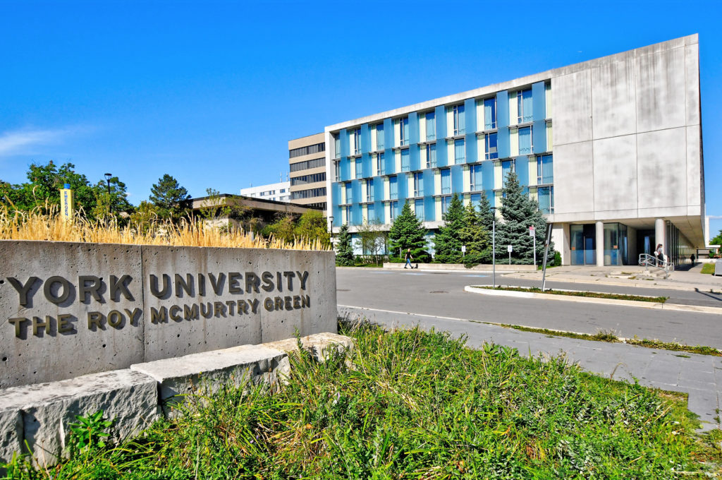
The Bachelor of Engineering – Geomatics Engineering at York University is designed for students passionate about mapping, surveying, and geospatial technologies. This program focuses on how to collect, analyze, and manage geographic and spatial data used in various fields such as urban planning, transportation, environment, and disaster response. Students learn to work with cutting-edge tools like GPS, satellite imaging, drones, and geographic information systems (GIS) to solve real-world problems.
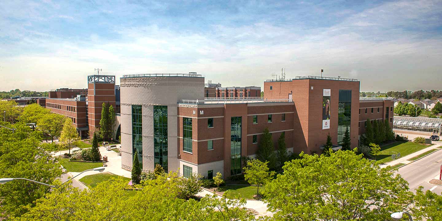
York University is one of the few institutions in Canada offering a dedicated degree in Geomatics Engineering, making it a unique opportunity for students to specialize in this growing and technology-driven field. The program also emphasizes sustainability and smart infrastructure, preparing graduates to work on modern global challenges.
Program Structure
- Length: 4 years (full-time)
- Degree Earned: Bachelor of Engineering (BEng) in Geomatics Engineering
- Language of Instruction: English
- Program Options:
- Co-op – Optional
- Students start with foundational courses in math, physics, and computer science, followed by specialized courses in surveying, GPS, remote sensing, and GIS. The program includes lab work, fieldwork, and a capstone design project in the final year to apply what they’ve learned to a real-world issue.
Featured Experiences
- Hands-on training in drone technology and satellite imaging
- Access to state-of-the-art GIS and mapping labs
- Co-op opportunities with government or private sector
- Participation in research projects and field surveys
- Final-year capstone design project in geomatics innovation
Career Options
Graduates from this program are equipped for high-demand careers in various industries and sectors:
- Geomatics Engineer
- GIS Analyst
- Remote Sensing Specialist
- Surveyor (Land, Hydrographic, or Engineering)
- Urban Planning and Infrastructure Consultant
- Data Analyst in Smart Cities or Environmental Monitoring
- Cartographer or Mapping Technologist
DISCLAIMER: The information above is subject to change. For the latest updates, please contact LOA Portal's advisors.
Visit York University official website