Last updated on 2026-07-29


Program overview
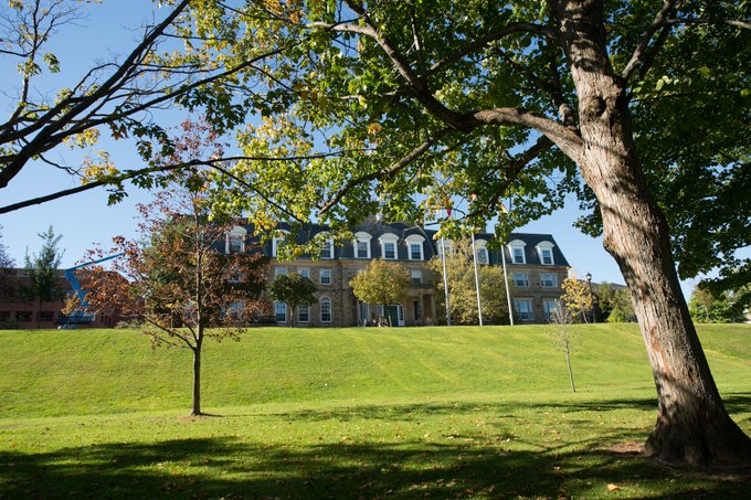
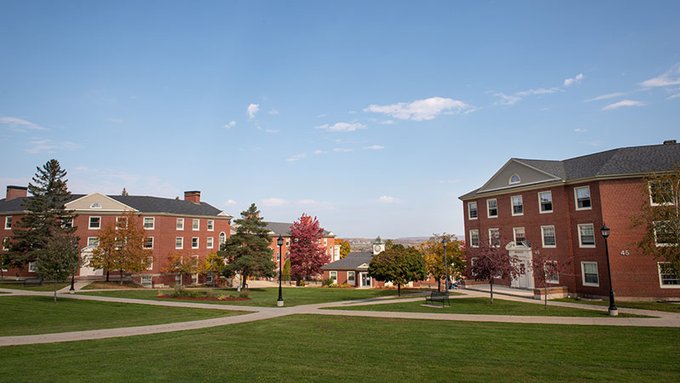
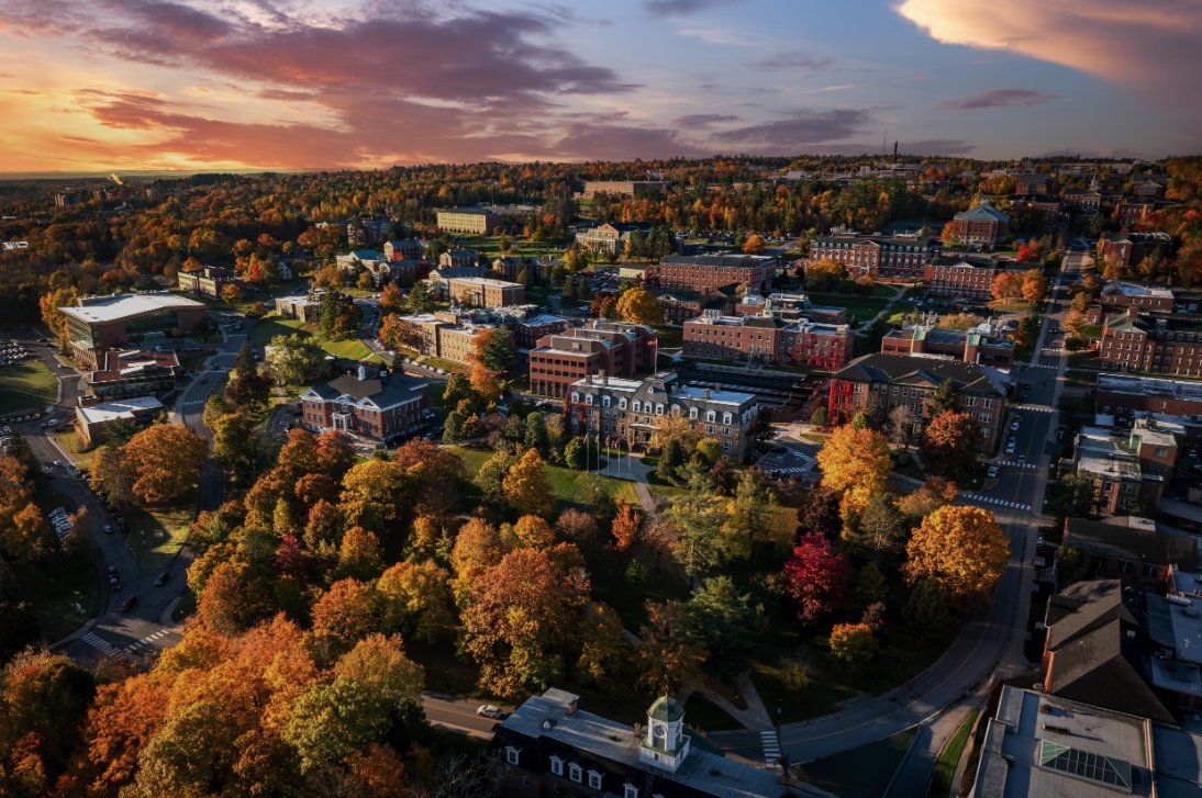
The Bachelor of Science in Engineering - Geomatics Engineering program at the University of New Brunswick (UNB) focuses on the science and technology of gathering, analyzing, interpreting, distributing, and utilizing geographic information. This program is designed to equip students with the necessary skills to create detailed representations of the physical world, which are essential for various engineering applications. The first year of this program is offered at the UNB Saint John campus, providing a solid foundation in geomatics principles and practices.
Program structure
The Bachelor of Science in Engineering - Geomatics Engineering program is structured to provide students with a comprehensive education in geomatics over a span of four years. The program is divided into two parts:
- Year 1: Offered at UNB Saint John
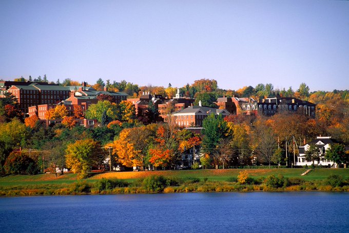
- Years 2-4: Completed at UNB Fredericton
Throughout the program, students will engage in a variety of learning experiences, including:
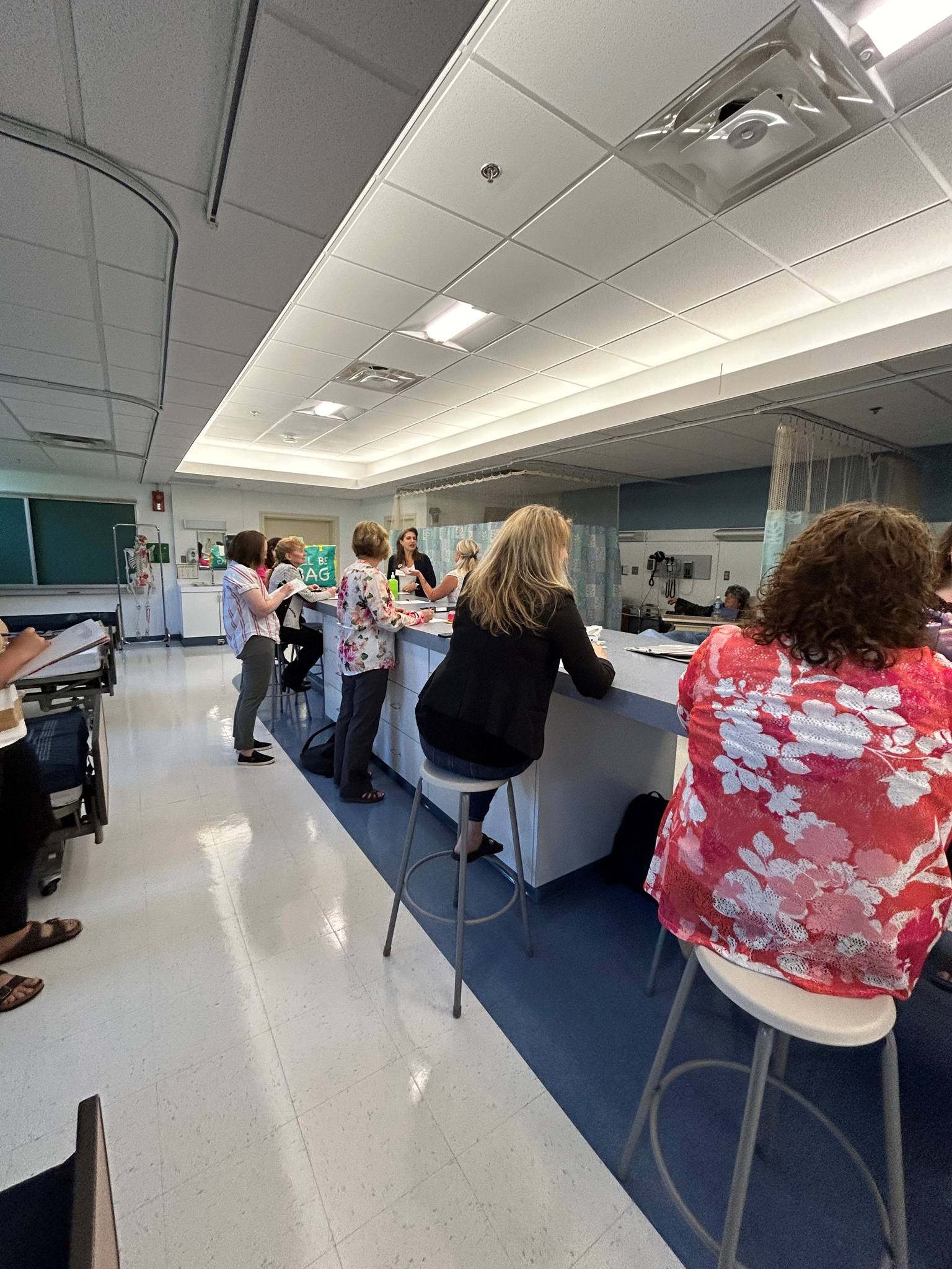
- Hands-on projects that utilize state-of-the-art technology
- Access to advanced statistical analysis and modeling tools
- Opportunities to work with geographic information system (GIS) software
Students may also have options for experiential learning, such as co-op placements or internships, which enhance their practical skills and employability in the field of geomatics engineering.
Featured Experiences
- Hands-on projects that allow students to apply theoretical knowledge in real-world scenarios.
- Utilization of advanced technology, including earth orbiting satellites and ground-based instrumentation.
- Access to state-of-the-art statistical analysis and modeling tools.
- Experience with remote sensing and geographic information system (GIS) software.
- Potential for co-op placements or internships to gain practical experience in the field.
Career Options
- Geomatics Engineer: Specializes in the collection and analysis of geographic data, using advanced technology to support engineering projects.
- Surveyor: Conducts land surveys to determine property boundaries and prepare land for development.
- GIS Analyst: Works with geographic information systems to analyze spatial data and create maps for various applications.
- Remote Sensing Specialist: Utilizes satellite and aerial imagery to gather data about the Earth's surface for environmental monitoring and resource management.
- Urban Planner: Uses geomatics data to assist in the planning and development of urban areas, ensuring sustainable growth and infrastructure development.
DISCLAIMER: The information above is subject to change. For the latest updates, please contact LOA Portal's advisors.
Visit University of New Brunswick official website