Last updated on 2026-04-08


Program overview
The Geomatics Engineering Technology diploma program at BCIT is a two-year course of study that leads to a nationally recognized and accredited diploma in Geomatics Technology. This program equips students with a solid foundation in applied mathematics, physics, cartography, photogrammetry, field surveying, geodetic surveying, and computer applications. It is designed for those eager to engage in a high-tech spatial career, blending theoretical knowledge with hands-on experience to prepare graduates for a variety of roles in the geomatics field.
Program structure
The Geomatics Engineering Technology diploma program is structured over two years, with each academic year divided into two terms. The program includes:
- Levels 1 and 3: 15 weeks each (September to December)
- Levels 2 and 4: 20 weeks each (January to May), including a one-week Spring Break
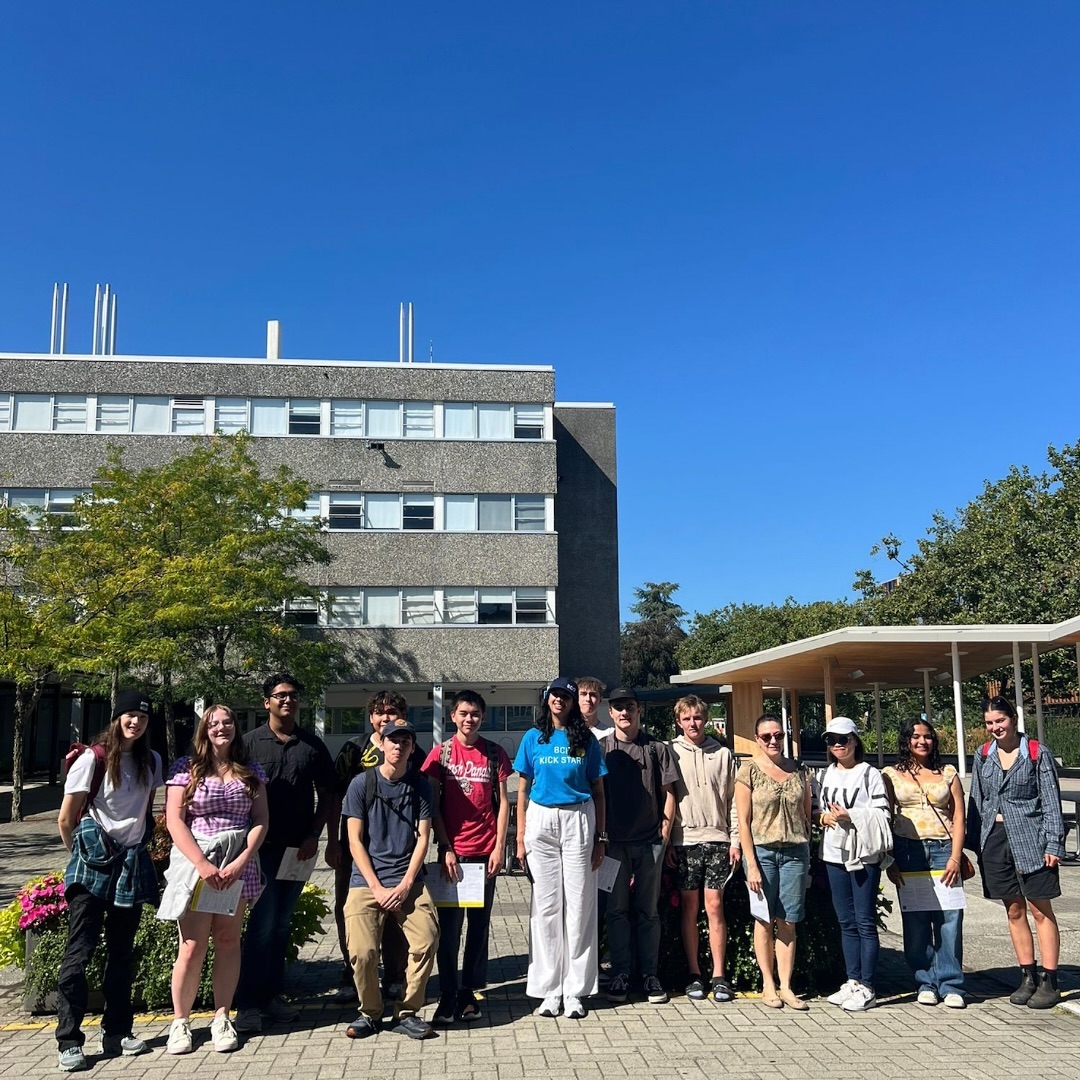
Students typically undertake six courses per term, with Term 4 having seven courses. Classes are scheduled Monday through Friday, from 8:30 AM to 5:30 PM, with Wednesdays concluding at 2:30 PM. The program is delivered in person at the Burnaby Campus and is designed to provide intensive, hands-on training using industry-standard tools. Additionally, students with relevant industry experience may qualify for the Geomatics Flexible Learning Direct Entry program, allowing them to enter directly into Academic Year 2.
Featured Experiences
The Geomatics Engineering Technology diploma program offers several unique features and experiences, including:
- Hands-on Training: Students gain practical experience using industry-standard tools and technologies.
- Field Surveying: Emphasis on real-world applications through fieldwork and lab sessions.
- Remote Sensing & Drone Technology: Exposure to cutting-edge technologies for data collection and analysis.
- Capstone Project: A final project that integrates all learning, focusing on real-world geomatics challenges.
- Industry Collaboration: Opportunities to work with industry professionals and gain insights into current practices.
Career Options
Graduates of the Geomatics Engineering Technology diploma program can pursue a variety of career options in Canada, including:
- Land Surveyor: Conduct surveys to determine property boundaries and prepare land for development.
- Geomatics Technician: Assist in the collection and analysis of geospatial data for various projects.
- GIS Analyst: Utilize Geographic Information Systems to analyze spatial data and create maps.
- Remote Sensing Specialist: Analyze data collected from satellite or aerial imagery for environmental monitoring.
- Construction Surveyor: Provide precise measurements and layout for construction projects, ensuring compliance with design specifications.
DISCLAIMER: The information above is subject to change. For the latest updates, please contact LOA Portal's advisors.
Visit British Columbia Institute of Technology (BCIT) official website