Last updated on 2026-04-20


Program overview
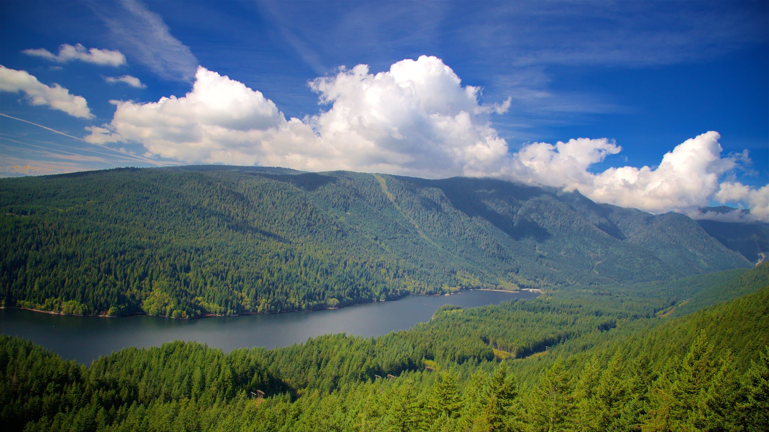
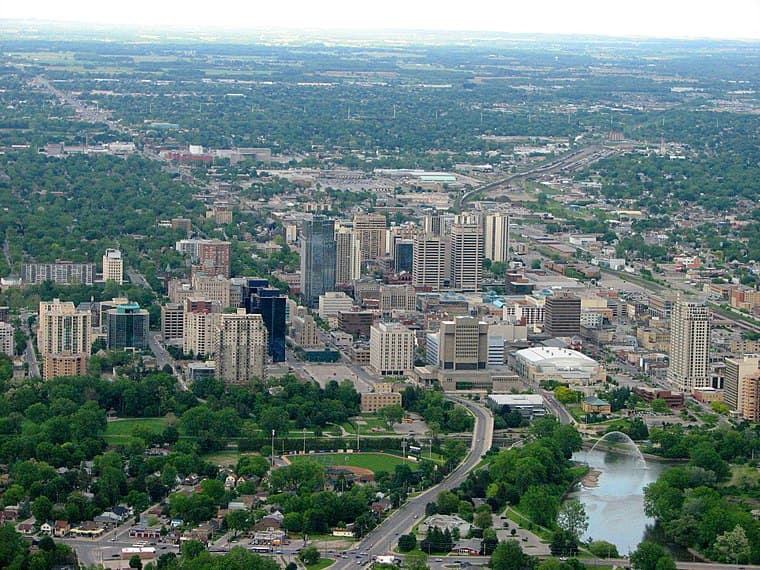
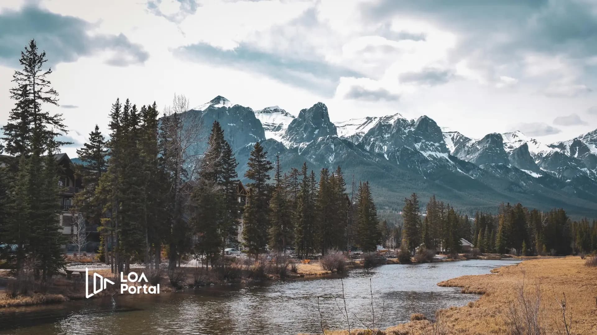
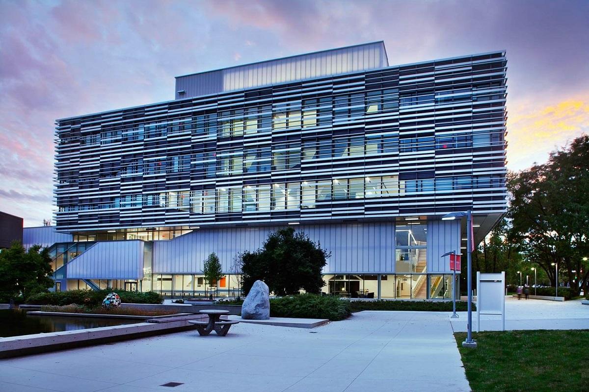
The Associate of Arts - Geography program at Langara College is designed for students interested in exploring the physical environment, including phenomena such as volcanoes, earthquakes, and glaciers. This program provides a comprehensive understanding of both human and physical geography, integrating social sciences and natural sciences. Students will engage with current urban, cultural, environmental, and economic issues, while also gaining skills in spatial information technologies like geographic information systems (GIS). This program is ideal for those considering careers in teaching, law, or business, as well as for students planning to pursue further undergraduate studies.
Program structure
The Associate of Arts - Geography program offers a flexible structure to accommodate various student needs. It is available for both full-time and part-time study, allowing students to choose a pace that suits their lifestyle. The program has a minimum duration of 2 years, with multiple start dates available in January, May, and September. This flexibility enables students to tailor their educational journey according to their personal and professional commitments.
Additionally, the program includes options for experiential learning, such as:
- Co-op opportunities
- Internships
- Field experiences
These options provide students with practical experience and enhance their understanding of geographical concepts in real-world contexts.
Featured Experiences
The Associate of Arts - Geography program at Langara College offers several unique features that enrich the learning experience:
- Hands-on learning through field studies and practical applications of geographic concepts.
- Access to advanced spatial information technologies, including GIS, which are essential for modern geographical analysis.
- Opportunities for collaborative projects with local organizations and communities.
- Engagement with experienced faculty who bring real-world expertise into the classroom.
- Networking opportunities with professionals in the field through workshops and seminars.
Career Options
Graduates of the Associate of Arts - Geography program can pursue a variety of career paths in Canada, including:
- Urban Planner: Develops plans and programs for land use in urban areas, focusing on sustainable development and community needs.
- Environmental Consultant: Advises organizations on environmental best practices and compliance with regulations, often conducting assessments and impact studies.
- Geographic Information Systems (GIS) Specialist: Utilizes GIS technology to analyze spatial data and create maps for various applications, including urban planning and resource management.
- Cartographer: Creates maps and visual representations of geographic data, often working with government agencies or private companies.
- Research Analyst: Conducts research on geographic trends and issues, providing insights that inform policy decisions and business strategies.
These career options highlight the diverse opportunities available to graduates, allowing them to make significant contributions to society through their understanding of geography.
DISCLAIMER: The information above is subject to change. For the latest updates, please contact LOA Portal's advisors.
Visit Langara College official website