Last updated on 2026-03-19


Program overview
The Urban and Regional Planning Technician - Geographic Information Systems (GIS) program at Mohawk College is designed to equip students with the essential knowledge and skills needed for modern urban and regional land use planning. This program delves into the concepts, processes, and technologies that contribute to creating sustainable and healthy communities. Students will explore the laws and policies that shape urban environments, as well as gain hands-on experience with tools such as Computer Aided Design (CAD) software and Geographic Information Systems (GIS). The program emphasizes a practical approach, ensuring that graduates are well-prepared to enter the workforce in various planning roles.
Program structure
The Urban and Regional Planning Technician - Geographic Information Systems (GIS) program is a full-time, two-year diploma program. The structure of the program includes:
- Program Length: Two years
- Three back-to-back co-op terms providing valuable work experience
- Hands-on learning through labs, field trips, and site visits
- Capstone research project to apply cumulative knowledge
This program is designed to prepare students for real-world challenges in urban planning, with a focus on applied learning. Students will have the opportunity to engage in co-op placements, which are typically in-person and may require a valid driver’s license and access to a vehicle. The program also offers pathways for students to transition into a Bachelor of Urban and Regional Planning (BURPI) upon completion.
Featured Experiences
The Urban and Regional Planning Technician - Geographic Information Systems (GIS) program offers a variety of unique experiences that enhance learning and professional development:
- Three co-op work terms that provide practical experience in the field
- Hands-on projects and simulations to apply theoretical knowledge
- Field trips to relevant sites for real-world exposure
- Use of advanced software tools such as ArcGIS Pro and AutoCAD
- Opportunities to engage in community design and planning projects
These experiences are designed to ensure that students not only learn the theoretical aspects of urban planning but also gain practical skills that are highly valued in the job market.
Career Options
Graduates of the Urban and Regional Planning Technician - Geographic Information Systems (GIS) program can pursue a variety of career paths in Canada, including:
- Planning Technician: Assist in the preparation of planning documents and reports, and support urban planners in project development.
- CAD Technician: Utilize CAD software to create detailed drawings and plans for urban development projects.
- Surveying/GIS Technician: Conduct surveys and utilize GIS technology to analyze spatial data for land use planning.
- Urban Designer: Work on the design and development of urban spaces, focusing on aesthetics and functionality.
- Environmental Planner: Assess environmental impacts of proposed developments and ensure compliance with regulations.
These roles are typically found in both public and private sectors, including engineering consulting firms, land development companies, and municipal planning departments. The program prepares students to meet the demands of these positions with a strong foundation in planning principles and practical skills.
DISCLAIMER: The information above is subject to change. For the latest updates, please contact LOA Portal's advisors.
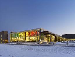
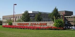
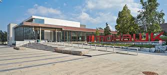
Visit Mohawk College official website