
Last updated on 2026-08-12
Program overview
The Bachelor of Science in Geography at Queen's University is designed for second-degree candidates seeking to deepen their understanding of geographical concepts and methodologies. This program emphasizes the integration of physical and human geography, equipping students with the skills necessary to analyze spatial data and understand the complexities of our world. With a focus on both theoretical and practical applications, graduates will be well-prepared for various career paths in geography and related fields.
Program structure
The Bachelor of Science in Geography program is structured to provide a comprehensive education over a three-year period. This program includes a variety of learning experiences and opportunities for students to engage with the material in meaningful ways. Key features of the program structure include:
- Flexible start dates, allowing students to begin in the summer or fall terms.
- Options for co-op placements or internships, providing real-world experience.
- Emphasis on both theoretical knowledge and practical skills.
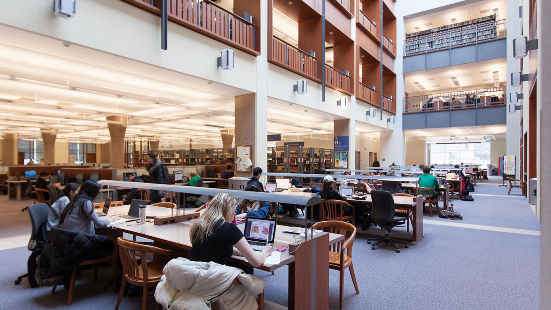
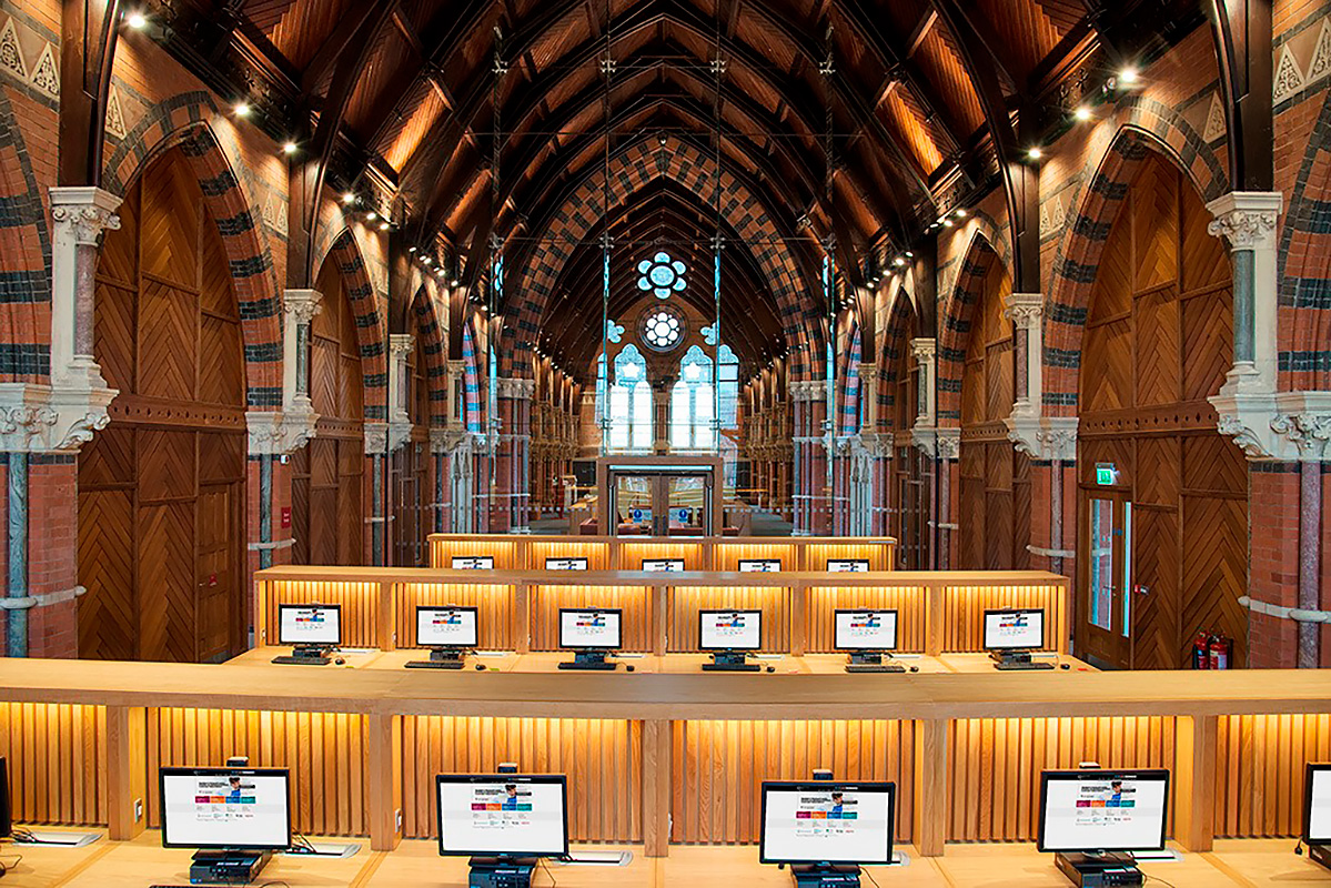
- Access to state-of-the-art facilities and resources for research and study.
Students will benefit from a curriculum that is regularly updated to reflect current trends and advancements in the field of geography.
Featured Experiences
- Co-op opportunities that allow students to gain hands-on experience in the field.
- Fieldwork components that enhance learning through practical application of geographical concepts.
- Access to specialized labs and technology for geographic information systems (GIS) and data analysis.
- Collaborative projects with local organizations and communities, fostering real-world connections.
- Joint partner programs that may offer additional learning experiences and networking opportunities.
Career Options
- Urban Planner: Develops plans and programs for land use in urban areas, focusing on sustainability and community needs.
- Environmental Consultant: Advises organizations on environmental best practices and compliance with regulations.
- Geographic Information Systems (GIS) Analyst: Utilizes GIS technology to analyze spatial data and create maps for various applications.
- Cartographer: Creates maps and visual representations of geographic data, often using advanced software tools.
- Climate Change Analyst: Studies climate data and trends to inform policy decisions and strategies for mitigation and adaptation.
DISCLAIMER: The information above is subject to change. For the latest updates, please contact LOA Portal's advisors.
Visit Queen's University official website