Last updated on 2025-12-23

Program overview
The Post-Diploma Bachelor of Science - Geography with Concentration in GIS is designed for students who have completed a diploma in a related field and wish to further their education. This program focuses on the integration of geographic information systems (GIS) with geographical studies, providing students with the skills necessary to analyze spatial data and make informed decisions based on geographic information. Graduates will be equipped to tackle real-world challenges using advanced GIS technologies and methodologies.
Program structure
The program is structured to provide a comprehensive understanding of geography and GIS, with a focus on practical applications. The program length is typically two years, allowing students to gain in-depth knowledge and hands-on experience in the field.
Key features of the program structure include:
- Combination of theoretical knowledge and practical skills.
- Opportunities for co-op placements to gain real-world experience.
- Access to state-of-the-art GIS technology and software.
- Flexible learning options to accommodate working professionals.
Featured Experiences
This program offers a variety of unique experiences that enhance learning and professional development:
- Co-op opportunities that allow students to work in the industry while studying.
- Hands-on lab sessions to practice GIS techniques and applications.
- Field experiences that provide real-world context to classroom learning.
- Joint partner programs with industry leaders to facilitate networking and job placement.
Career Options
Graduates of the Post-Diploma Bachelor of Science - Geography with Concentration in GIS can pursue a variety of career paths in Canada, including:
- GIS Analyst: Responsible for analyzing spatial data and creating maps to support decision-making in various sectors.
- Urban Planner: Works on land use planning and development projects, utilizing GIS to assess environmental impacts and community needs.
- Environmental Consultant: Provides expertise on environmental issues, using GIS to analyze data and develop sustainable solutions.
- Cartographer: Specializes in map-making and spatial data visualization, creating maps for various applications.
- Remote Sensing Specialist: Uses satellite and aerial imagery to gather data for environmental monitoring and resource management.
DISCLAIMER: The information above is subject to change. For the latest updates, please contact LOA Portal's advisors.
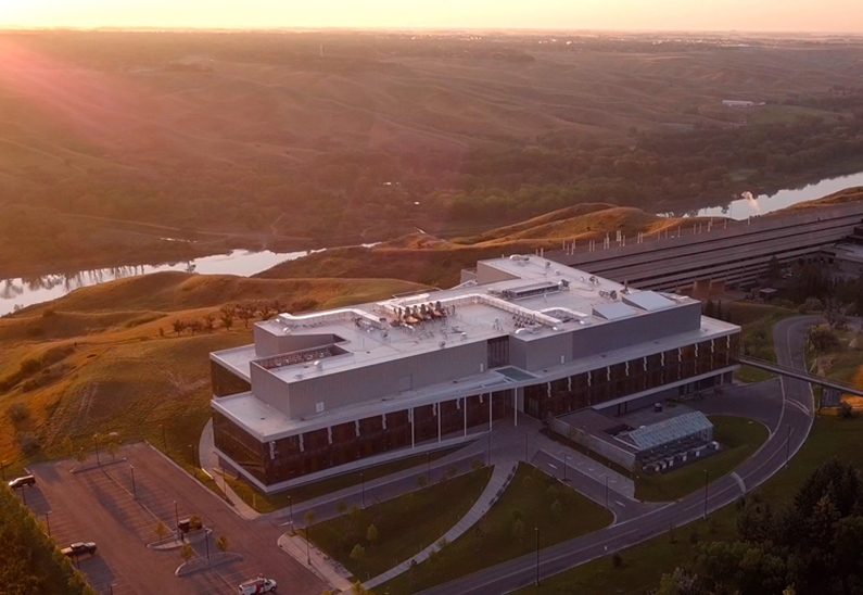
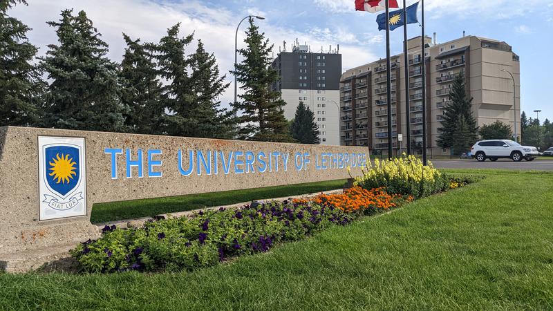
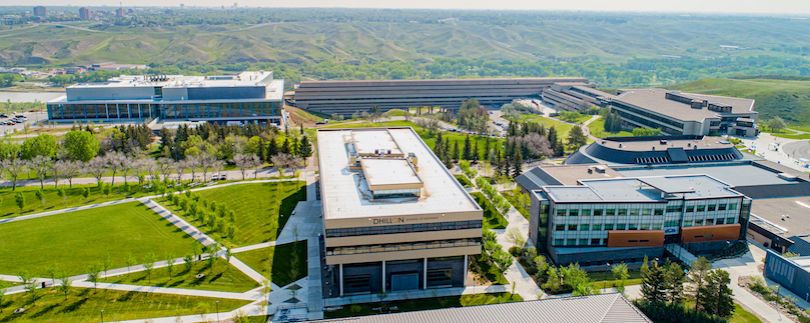
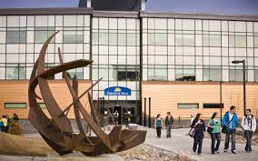
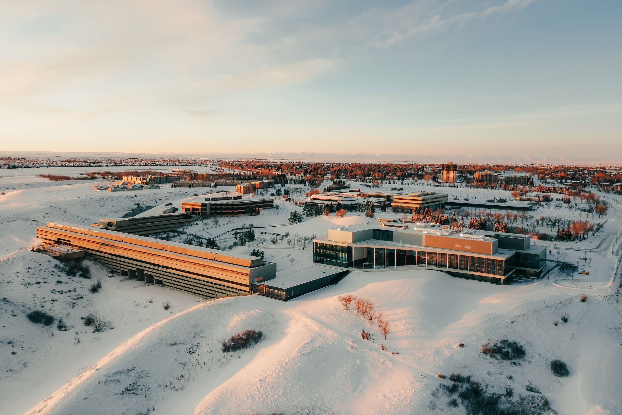
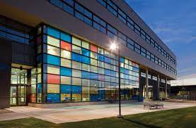
Visit UOL - University of Lethbridge official website