Last updated on 2025-08-28


Program overview
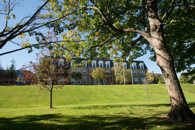
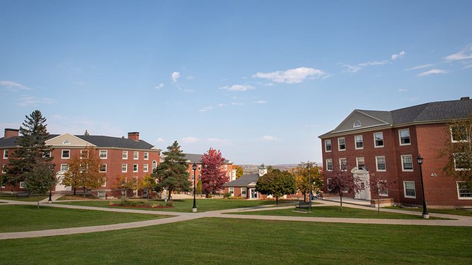
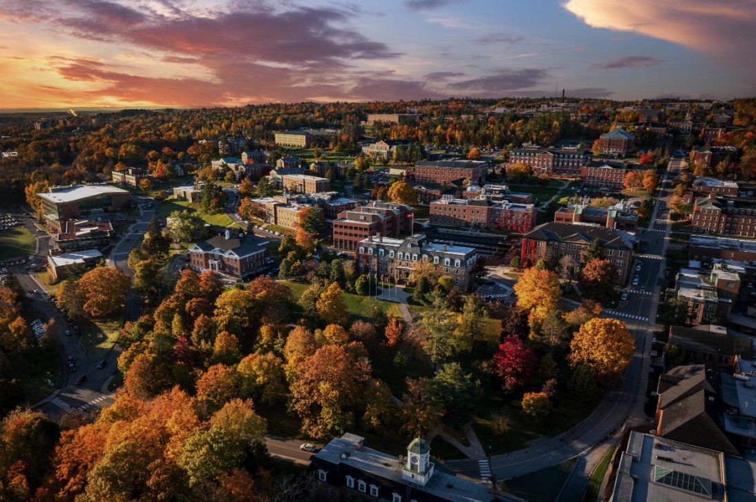
The Master of Engineering in Geodesy and Geomatics Engineering at the University of New Brunswick (UNB) offers a comprehensive and interdisciplinary approach to the study of geodesy and geomatics. This program equips students with a robust understanding of the field, integrating knowledge from various disciplines such as geology, physics, civil engineering, and oceanography. With a strong emphasis on practical applications, students benefit from access to state-of-the-art geodetic instruments and research centers. Graduates of this program are well-prepared for careers in environmental monitoring, land and marine resource management, and real estate transactions, making them valuable assets in their respective fields.
Program structure
The Master of Engineering in Geodesy and Geomatics Engineering program is designed to be completed in a duration of 12 to 24 months. The program offers various study options, including coursework and thesis tracks, allowing students to tailor their educational experience to their career goals. Key features of the program structure include:
- Entry terms available in Fall (MEng Fall intake only), Winter, and Summer.
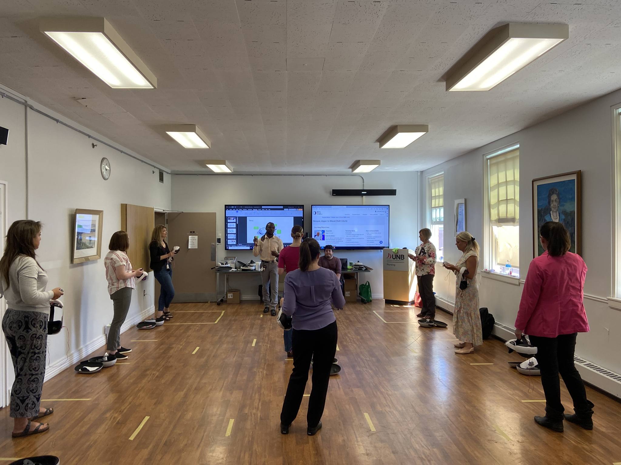
- Access to well-equipped laboratories with modern hardware and software.
- Interdisciplinary approach that connects geodesy and geomatics with other fields.
- Opportunities for research collaboration through associated research centers.
Students can expect a dynamic learning environment with approximately 60 graduate students from diverse backgrounds, fostering a rich exchange of ideas and experiences.
Featured Experiences
The Geodesy and Geomatics Engineering program at UNB offers several unique experiences that enhance the educational journey:
- Access to renowned research centers, including the Ocean Mapping Group and the Canadian Centre for Geodetic Engineering.
- Hands-on experience with the latest geodetic instruments and technologies.
- Opportunities for interdisciplinary research that connects geodesy with fields such as oceanography and environmental science.
- Collaboration with faculty members who are experts in various research areas, including GNSS, Geographic Information Systems (GIS), and Remote Sensing.
These experiences not only enrich the academic curriculum but also prepare students for real-world applications in their future careers.
Career Options
Graduates of the Master of Engineering in Geodesy and Geomatics Engineering program can pursue a variety of career paths in Canada, including:
- Geospatial Analyst: Analyzes spatial data to support decision-making in urban planning, environmental management, and resource allocation.
- Land Surveyor: Conducts surveys to determine land boundaries and prepare land development plans, ensuring compliance with regulations.
- Remote Sensing Specialist: Utilizes satellite and aerial imagery to monitor environmental changes and support research in various fields.
- GIS Technician: Develops and maintains geographic information systems, providing critical data for mapping and analysis.
- Hydrographic Surveyor: Conducts surveys of bodies of water to gather data for navigation, environmental protection, and resource management.
These roles highlight the diverse opportunities available to graduates, showcasing the program's relevance in today's job market.
DISCLAIMER: The information above is subject to change. For the latest updates, please contact LOA Portal's advisors.
Visit University of New Brunswick official website