Last updated on 2025-08-28


Program overview
The Bachelor of Science in Engineering (Year 1) - Geomatics Engineering program at the University of New Brunswick (UNB) is designed to equip students with the essential skills and knowledge in the field of geomatics. This program focuses on the science and technology involved in gathering, analyzing, interpreting, distributing, and utilizing geographic information. Students will explore various applications of geomatics, including geodesy, which is crucial for understanding the earth's size, shape, and gravity field. The program emphasizes the use of advanced computerized tools and information to create detailed representations of the physical world, preparing students for diverse engineering applications.
Program structure
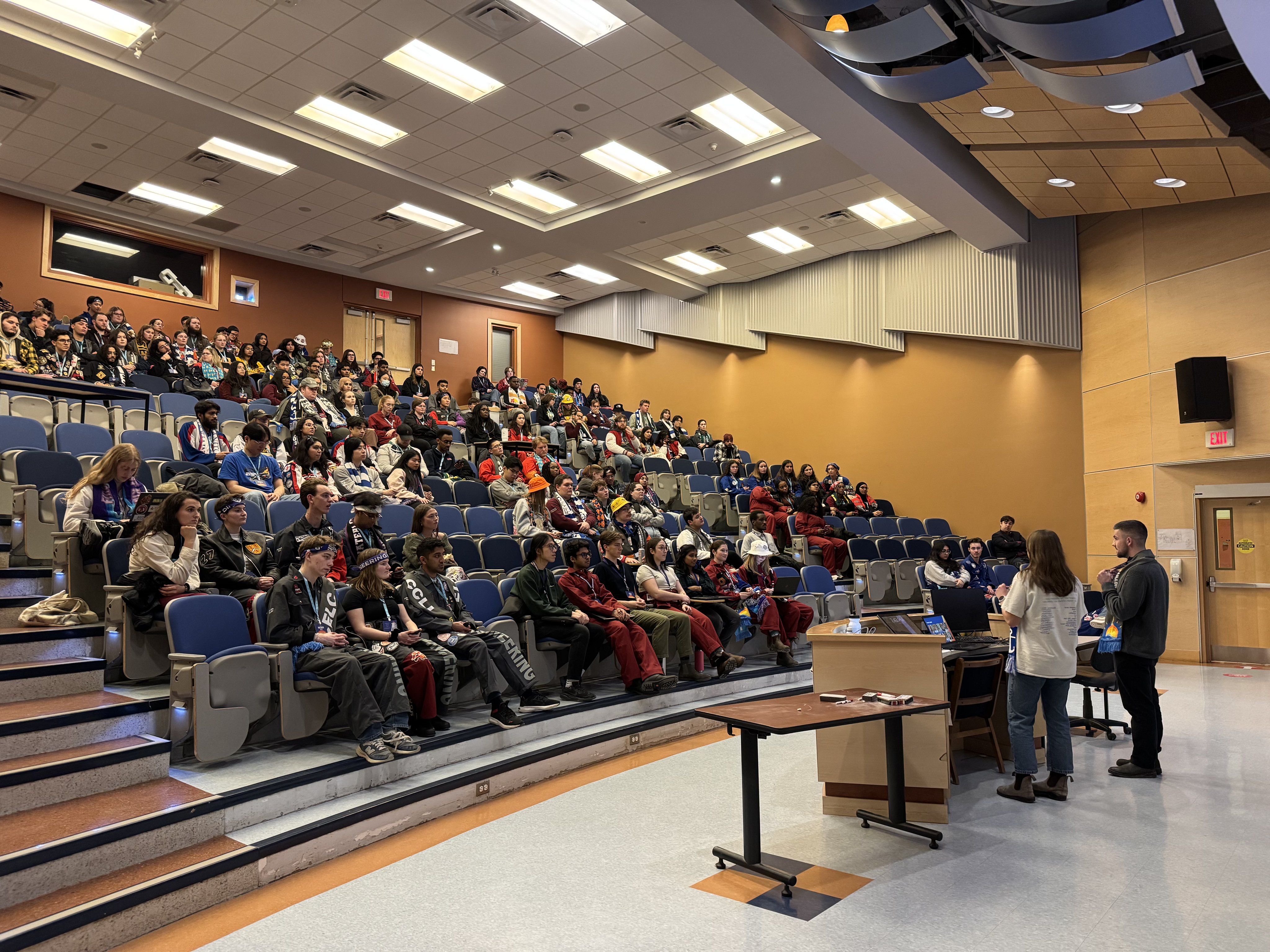
The Bachelor of Science in Engineering (Year 1) - Geomatics Engineering program is structured to provide a comprehensive foundation in engineering principles, with a specific focus on geomatics. The program is offered at the UNB Saint John campus and has a program length of one year. During this time, students will engage in a variety of learning experiences that include:
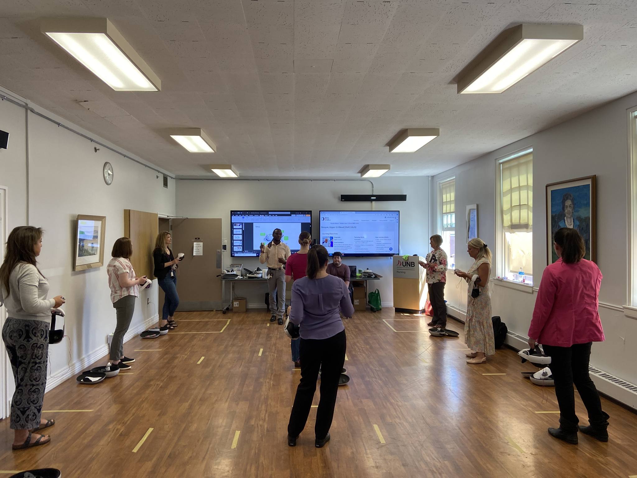
- Hands-on training with state-of-the-art statistical analysis and modeling tools.
- Exposure to remote sensing and geographic information system (GIS) software.
- Opportunities to work with data from earth orbiting satellites, air and sea-borne sensors, and ground-based instrumentation.
Additionally, students may have options for experiential learning, such as co-op placements or internships, which can enhance their practical skills and industry connections.
Featured Experiences
The Geomatics Engineering program offers several unique features that enhance the learning experience for students:
- Access to advanced technology and tools for geographic data analysis.
- Opportunities to engage in real-world projects that apply geomatics principles.
- Collaboration with industry partners to gain insights into current practices and innovations in the field.
- Field experiences that allow students to apply their knowledge in practical settings.
Career Options
Graduates of the Bachelor of Science in Engineering (Year 1) - Geomatics Engineering program can pursue a variety of career paths in Canada, including:
- Geomatics Engineer: Specializes in the collection and analysis of geographic data to support engineering projects.
- GIS Analyst: Works with geographic information systems to analyze spatial data and create maps for various applications.
- Surveyor: Conducts land surveys to determine property boundaries and prepare land for development.
- Remote Sensing Specialist: Utilizes satellite and aerial imagery to gather information about the earth's surface for environmental monitoring.
- Urban Planner: Uses geographic data to develop plans for land use and community development, ensuring sustainable growth.
DISCLAIMER: The information above is subject to change. For the latest updates, please contact LOA Portal's advisors.
Visit University of New Brunswick official website