Last updated on 2025-08-28


Program overview
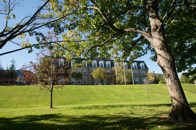
The Bachelor of Science in Engineering - Geomatics Engineering program at UNB is one of only two certified Geomatics programs in Canada. This specialized field focuses on analyzing data about the Earth’s surface to address complex challenges such as climate change, urban planning, and public health. With a strong emphasis on hands-on learning and world-class education, the program boasts a remarkable 100% employment rate for its graduates, who are well-prepared to make significant contributions in various engineering fields.
Program structure
The Geomatics Engineering program is structured as a four-year Bachelor of Science in Engineering degree, offering both major and minor options. The program is designed to equip students with essential skills and knowledge through a combination of theoretical and practical experiences. Key features of the program include:
- Program Length: Four years
- Hands-on learning opportunities
- Course labs to enhance practical skills
- Engineering co-op program for real-world experience
- Summer employment opportunities to gain industry exposure
This comprehensive structure ensures that students are not only academically prepared but also gain valuable experience that enhances their employability in the engineering sector.
Featured Experiences
The Geomatics Engineering program at UNB offers a variety of unique experiences that enrich the educational journey of its students:
- Hands-on learning through practical course labs
- Participation in an engineering co-op program, allowing students to gain real-world experience
- Summer employment opportunities to further develop skills and industry connections
- Access to cutting-edge research and technology, including advancements in satellite imagery and renewable energy
These experiences not only enhance learning but also prepare students for successful careers in the field of Geomatics Engineering.
Career Options
Graduates of the Bachelor of Science in Engineering - Geomatics Engineering program can pursue a variety of career paths in Canada. Some potential job options include:
- Technical Support Person: Provide support for advanced computer-based mapping systems used globally.
- Cadastral Surveyor: Specialize in land surveying and property boundaries.
- Professional Land Surveyor: Conduct surveys to determine land features and boundaries.
- Natural Gas Pipeline Project Consultant: Advise on the planning and execution of pipeline projects.
- Navigation System Tester: Evaluate and improve navigation systems for accuracy and reliability.
- International Consultant for Land and Property Administration: Offer expertise in land management and property rights.
- 3D Model Designer: Create detailed models of historic buildings and industrial plants.
These roles highlight the diverse opportunities available to graduates, showcasing the demand for skilled professionals in the Geomatics field.
DISCLAIMER: The information above is subject to change. For the latest updates, please contact LOA Portal's advisors.
Visit University of New Brunswick official website