Last updated on 2025-08-06


Program Overview
Learn to make the world a more sustainable place with Fanshawe's GIS and Urban Planning program. This program is designed for those who are passionate about understanding how to conserve and restore natural environments while enhancing built environments. Students will gain essential technical and design skills that prepare them for rewarding careers as planning, design, or AutoCAD technicians, as well as GIS technicians, operators, or analysts. If you are curious about the future of our world and want to make a positive impact, this program is the perfect fit for you!
Program Structure
The GIS and Urban Planning program at Fanshawe College is a comprehensive 60-week diploma program that provides students with a deep understanding of land use planning, land development, and resource management in both rural and urban settings. The program is structured as follows:
- Full-time and part-time study options available.
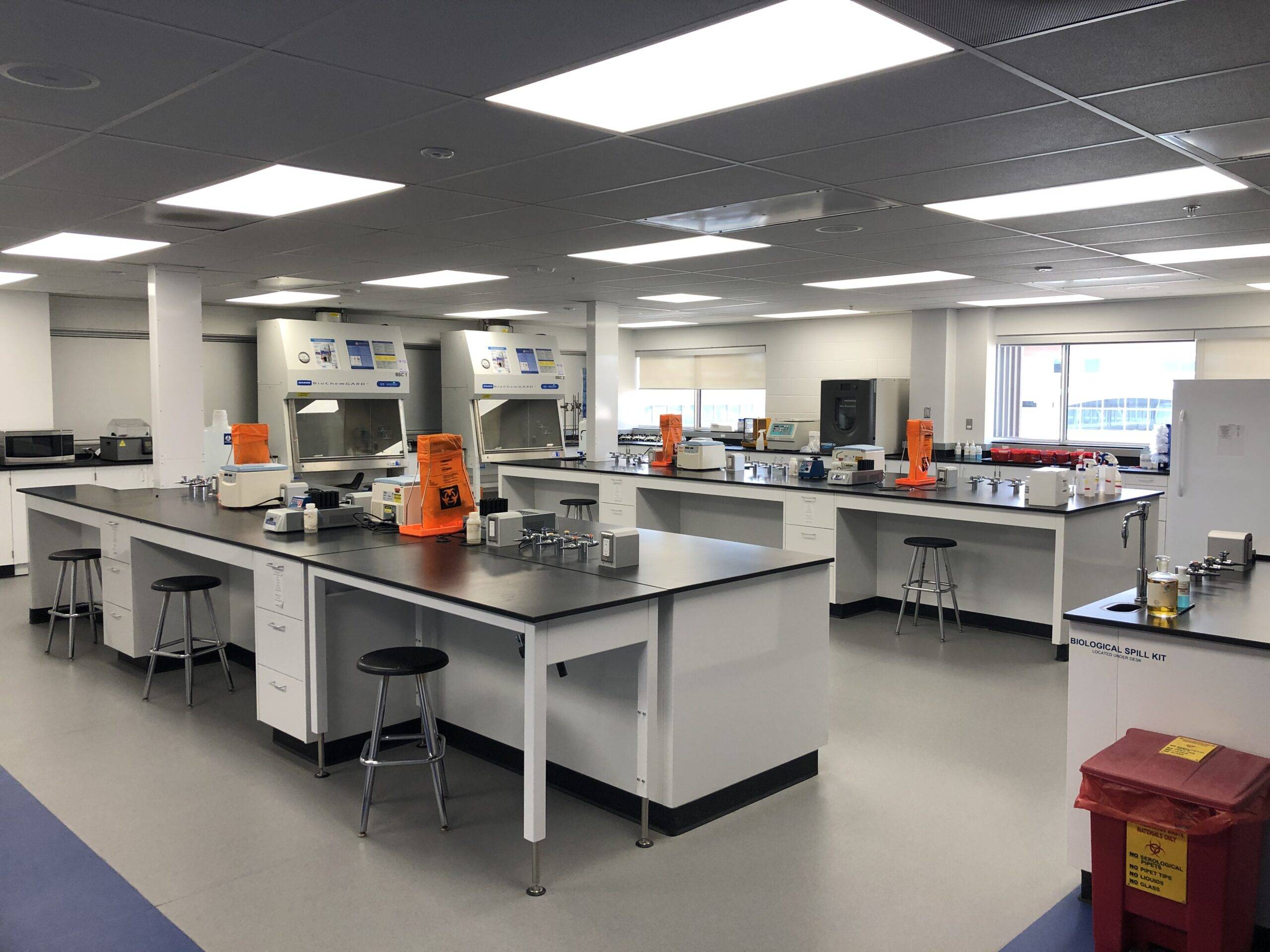
- Access to cutting-edge technologies including GIS, AutoCAD, and 3D visualization tools.
- Unique case study method that allows students to engage in real land development projects.
- Two co-operative work terms to gain practical, hands-on experience.
- Flexible learning options, including online and blended formats.
This program is designed to equip students with the skills and experience necessary to thrive in the workplace upon graduation.
Featured Experiences
- Co-operative education component providing invaluable workplace experience.
- Hands-on training with GIS and AutoCAD software.
- Participation in actual land development projects through case studies.
- Access to advanced technologies for spatial database management and graphic presentations.
- Opportunities to work with government agencies, planning consultants, and land development companies.
Career Options
Graduates of the GIS and Urban Planning program can pursue a variety of exciting career paths in Canada, including:
- GIS/Planning Technician: Manage and evolve a municipality’s geographic information system, produce cartographic products, and provide technical guidance.
- Urban Design Technician: Assist in the design and planning of urban spaces, focusing on sustainability and community needs.
- GIS Analyst: Analyze spatial data to support planning decisions and enhance urban development projects.
- Environmental Planning Support Technician: Work on projects that aim to conserve natural resources and promote sustainable land use.
- Mobile Mapping Technologist: Utilize mobile mapping technologies to collect and analyze geographic data for various applications.
These roles not only contribute to the development of sustainable communities but also offer a chance to make a significant impact on the environment and society.
DISCLAIMER: The information above is subject to change. For the latest updates, please contact LOA Portal's advisors.
Visit Fanshawe College official website