Last updated on 2026-03-17


Program Overview
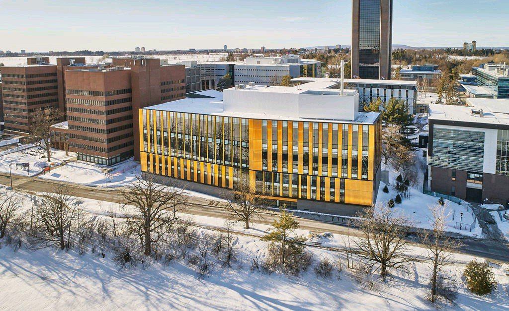
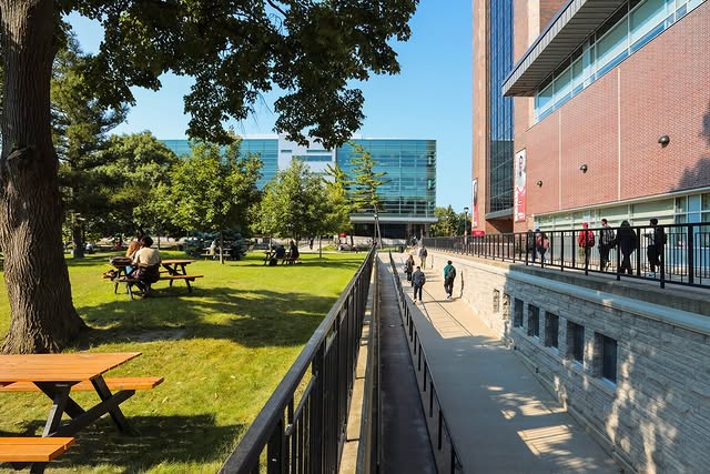
The Bachelor of Arts (Honours) in Geomatics program at Carleton University offers students a comprehensive education in geographic information systems (GIS), remote sensing, and cartography. This program emphasizes the application of geospatial data analysis to address various real-world issues, including urban planning, environmental management, and public health. Students will gain hands-on experience with industry-standard software and hardware, preparing them for a dynamic career in the field of geomatics.
Program Structure
The Bachelor of Arts (Honours) in Geomatics program is designed to provide students with a robust educational foundation in geomatics. Key details of the program structure include:
- Program Length: Typically spans four years.
- Credits: Completion of a specified number of credits is required for graduation.
- Co-op Option: Students have the opportunity to participate in co-op placements, gaining valuable field experience.
- Research Facilities: Access to advanced geomatics laboratories and resources, including over 166,000 digital and paper maps.
This program not only equips students with theoretical knowledge but also emphasizes practical skills through extensive use of cutting-edge technology and software tools.
Featured Experiences
- Hands-on training with industry-standard software such as ESRI ArcGIS Pro and QGIS.
- Field experience opportunities through co-op placements.
- Access to state-of-the-art geomatics laboratories and research tools.
- Utilization of advanced hardware, including drones and GNSS technology.
- Collaboration with federal government departments and research institutions in Ottawa.
Career Options
Graduates of the Bachelor of Arts (Honours) in Geomatics program can pursue a variety of career paths in Canada, including:
- Cartographer: Specializes in creating maps and visual representations of geographic data.
- GIS Analyst: Analyzes spatial data to support decision-making in urban planning and resource management.
- Remote Sensing Specialist: Utilizes satellite and aerial imagery to assess environmental changes and land use.
- Urban Planner: Works on developing plans and programs for land use in urban areas.
- Resource Manager: Manages natural resources, ensuring sustainable practices in forestry, agriculture, and water management.
These roles leverage the skills and knowledge acquired during the program, preparing graduates for impactful careers in various sectors.
DISCLAIMER: The information above is subject to change. For the latest updates, please contact LOA Portal's advisors.
Visit Carleton University official website