Last updated on 2025-05-14

Program Overview
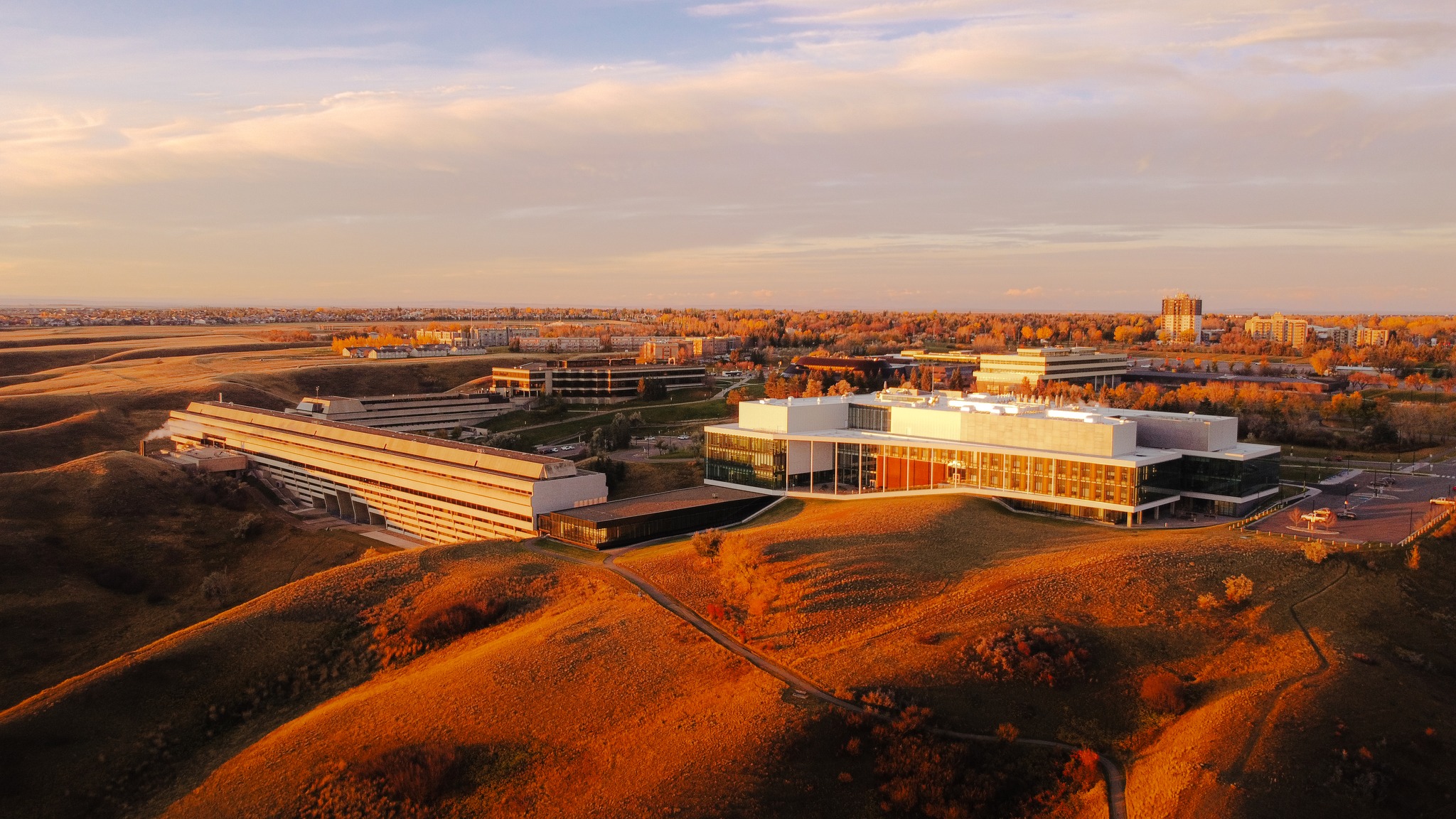
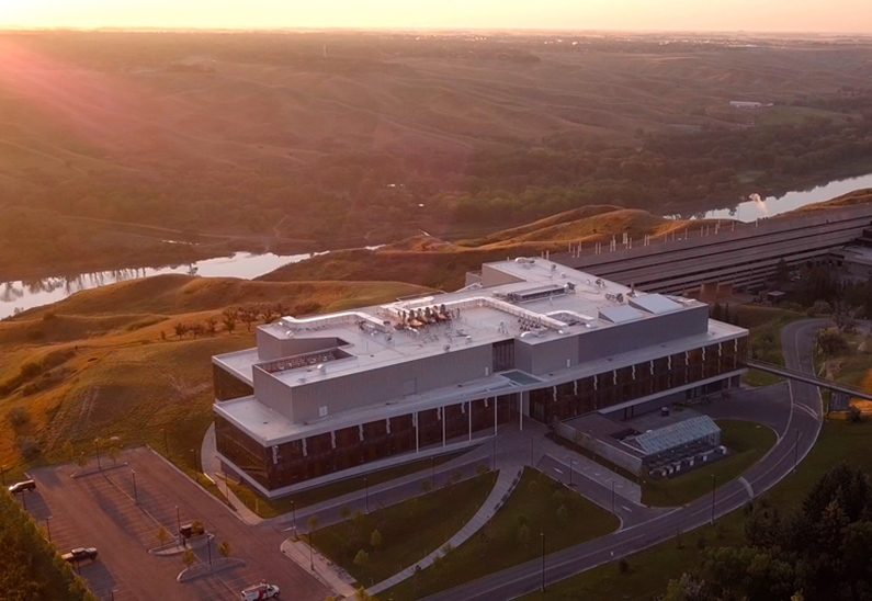
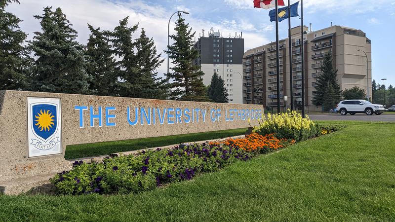
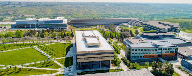
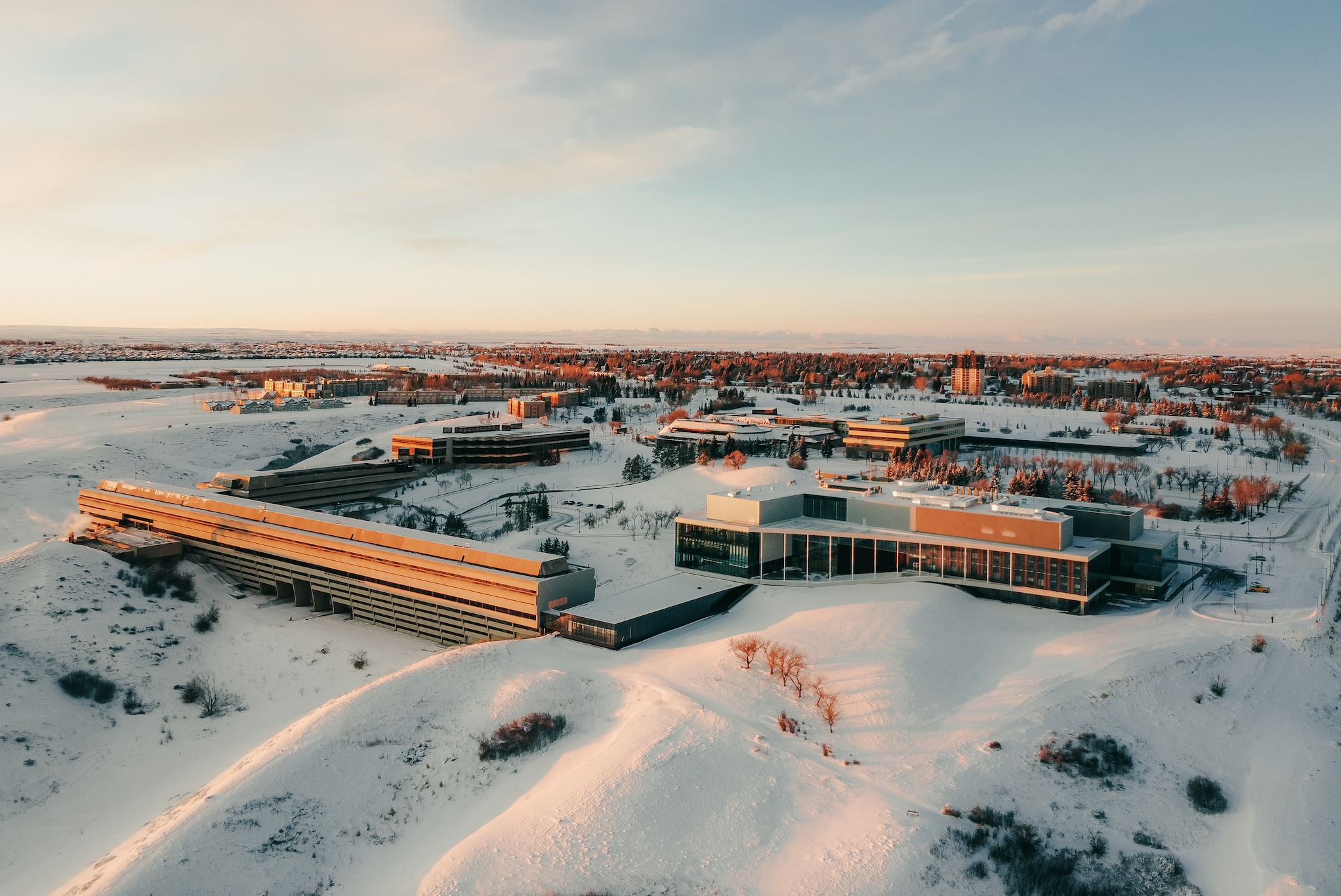
The Bachelor of Arts & Science in Art & Remote Sensing at the University of Lethbridge is an innovative program that combines the study of art with cutting-edge remote sensing technologies. This unique interdisciplinary approach allows students to explore the intersection of creativity and scientific inquiry. The program is designed to equip students with the skills necessary to analyze and interpret data gathered from various remote sensing technologies, fostering a deeper understanding of our environment and its complexities.
Program Structure
The Bachelor of Arts & Science in Art & Remote Sensing is structured to provide a comprehensive educational experience over a four-year period. The program includes:
- A blend of theoretical and practical coursework.
- Opportunities for hands-on learning through various projects.
- Optional co-op placements to gain real-world experience.
- Access to state-of-the-art technology and research facilities.
Students will engage in a variety of learning experiences that prepare them for careers in remote sensing and related fields. The program emphasizes critical thinking, creativity, and technical skills, ensuring graduates are well-rounded and ready to tackle challenges in their future careers.
Featured Experiences
- Co-op opportunities that allow students to gain practical experience in the field.
- Access to advanced remote sensing technologies and research projects.
- Collaboration with faculty and industry professionals on innovative research.
- Fieldwork that enhances understanding of remote sensing applications.
- Participation in workshops and seminars to develop professional skills.
Career Options
Graduates of the Bachelor of Arts & Science in Art & Remote Sensing can pursue a variety of career paths in Canada, including:
- Remote Sensing Analyst: Analyze data from remote sensing technologies to monitor environmental changes and support decision-making.
- Geospatial Technician: Utilize geographic information systems (GIS) to create maps and analyze spatial data for various applications.
- Environmental Consultant: Provide expertise on environmental issues, using remote sensing data to assess impacts and develop solutions.
- Data Scientist: Employ statistical methods and machine learning techniques to interpret complex datasets, including those from remote sensing.
- Research Scientist: Conduct research in remote sensing technologies and their applications in fields such as agriculture, forestry, and urban planning.
DISCLAIMER: The information above is subject to change. For the latest updates, please contact LOA Portal's advisors.
Visit UOL - University of Lethbridge official website