Last updated on 2025-12-23

Program overview
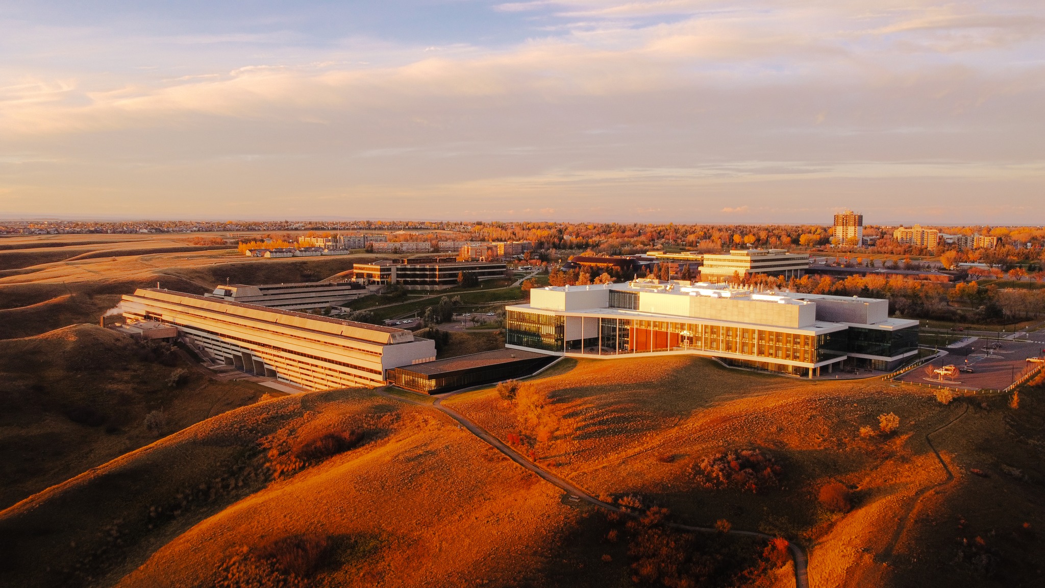
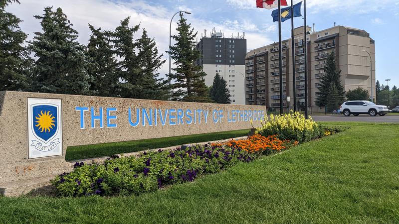
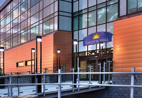
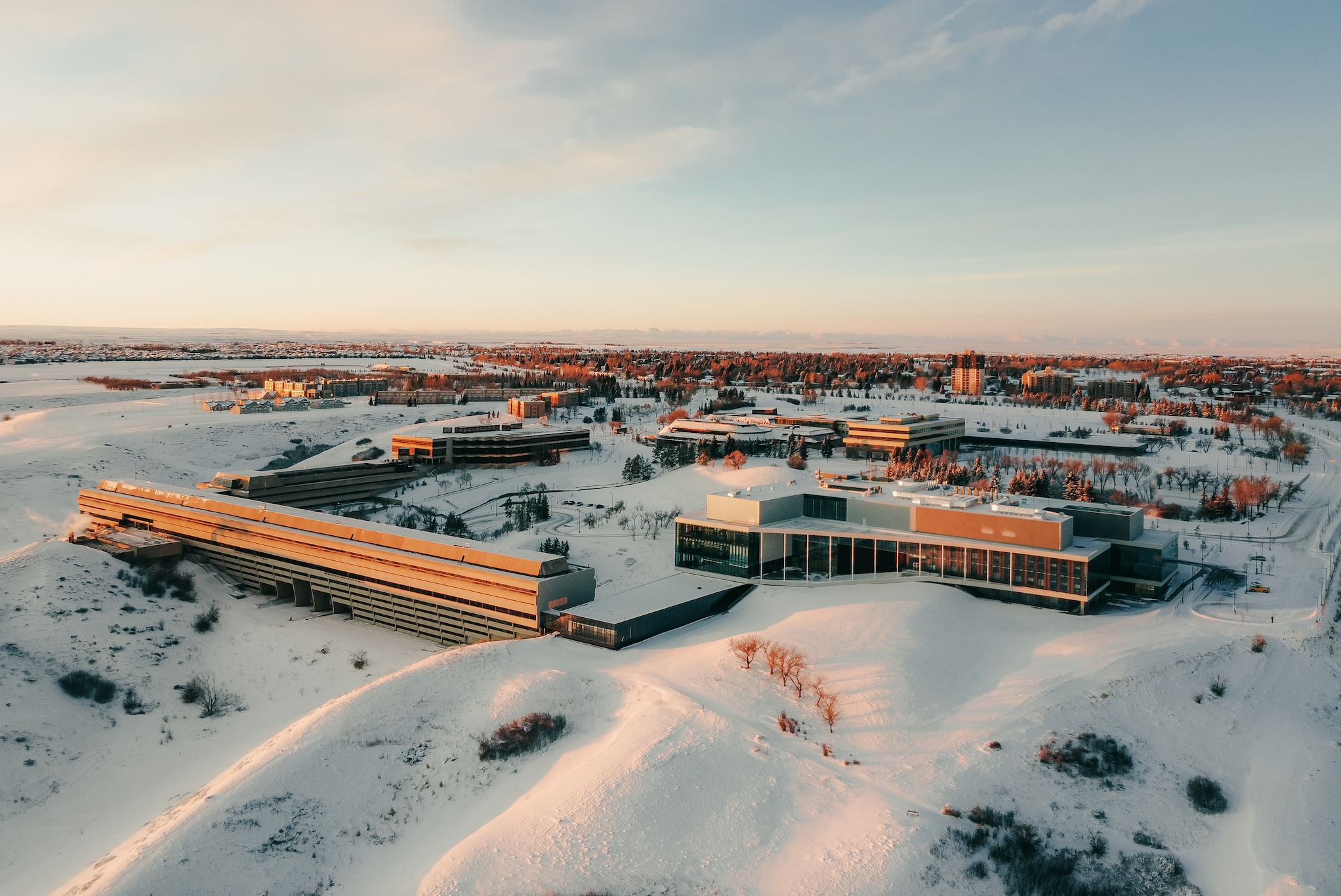
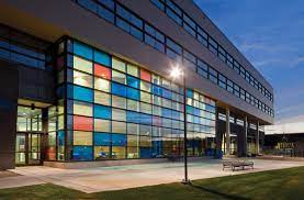
The Bachelor of Arts & Science in Archaeology & Remote Sensing at the University of Lethbridge offers a unique opportunity to explore past human cultures and societies through the analysis of material remains. This program combines theoretical and methodological approaches, allowing students to gain a comprehensive understanding of archaeology and geography. Students will engage in hands-on learning experiences in both field and laboratory settings, enhancing their skills in archaeological interpretation. The program is designed to prepare students for the multidisciplinary nature of archaeology and geography, with a focus on areas such as anthropology, human geography, and remote sensing.
Program structure
The Bachelor of Arts & Science in Archaeology & Remote Sensing is structured to provide a well-rounded education in the field. The program length is four years, allowing students to delve deeply into their studies while gaining practical experience. Key features of the program include:
- Experiential learning opportunities, including co-operative education and international exchanges.
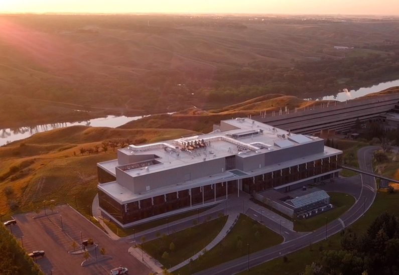
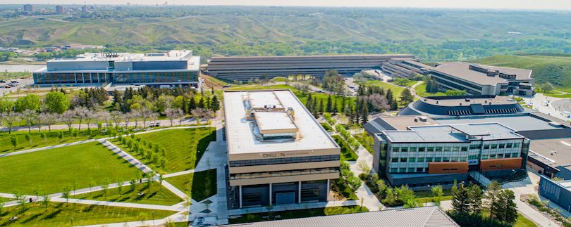
- Access to a GIS/remote-sensing lab for hands-on projects and research.
- Options to declare a concentration in geographical information science.
- Possibility to complete an honours thesis in the fourth year for high-achieving students.
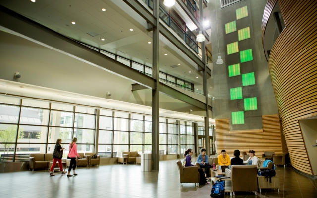
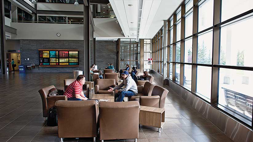
Students are encouraged to participate in various student clubs and activities, fostering a sense of community and collaboration among peers.
Featured Experiences
The Bachelor of Arts & Science in Archaeology & Remote Sensing offers a variety of unique experiences that enhance the learning journey:
- Co-operative Education: The program is the only one in Alberta that offers co-op opportunities for all majors in the arts and sciences, allowing students to gain valuable work experience.
- Field Schools: Students have the chance to participate in field schools, providing practical experience in archaeological methods.
- Independent Studies: Opportunities for independent research projects allow students to explore specific interests within archaeology and geography.
- Student Clubs: Active student clubs organize various activities throughout the year, promoting engagement and networking among students.
- International Exchanges: Students can broaden their horizons through international exchange programs, enhancing their global perspective.
Career Options
Graduates of the Bachelor of Arts & Science in Archaeology & Remote Sensing can pursue a variety of career paths in Canada, including:
- Archaeological Assessment Consultant: Provide expert advice on archaeological assessments for development projects.
- Field Archaeologist: Conduct fieldwork to excavate and analyze archaeological sites.
- Museum Curator: Manage collections and exhibitions in museums, focusing on archaeological artifacts.
- Cultural Resource Manager: Oversee the preservation and management of cultural heritage sites.
- GIS Specialist: Utilize geographical information systems to analyze spatial data related to archaeology and geography.
These roles leverage the skills and knowledge gained throughout the program, preparing graduates for successful careers in various sectors related to archaeology and geography.
DISCLAIMER: The information above is subject to change. For the latest updates, please contact LOA Portal's advisors.
Visit UOL - University of Lethbridge official website