Last updated on 2025-11-18


Program overview
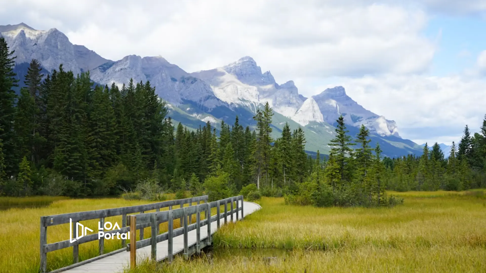
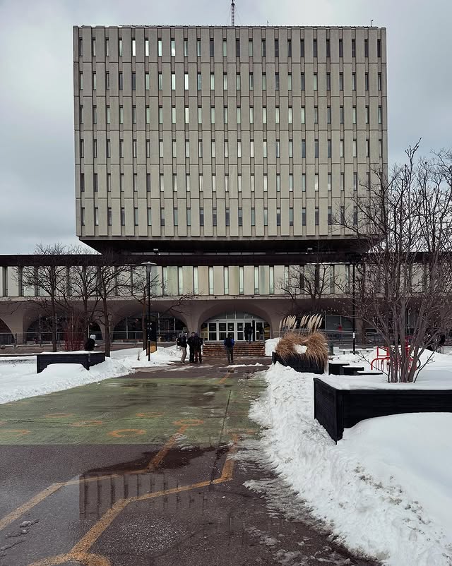
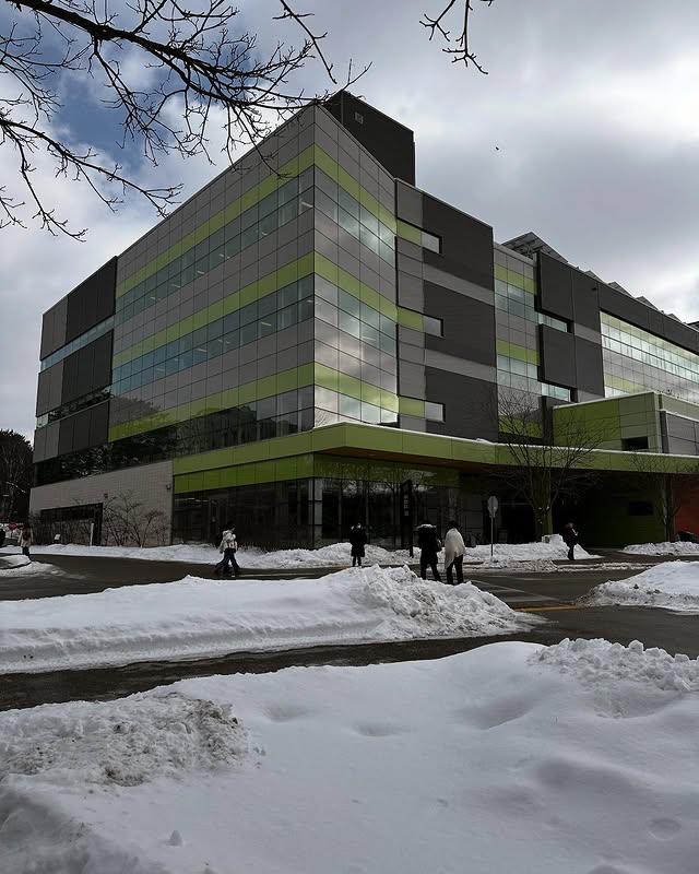
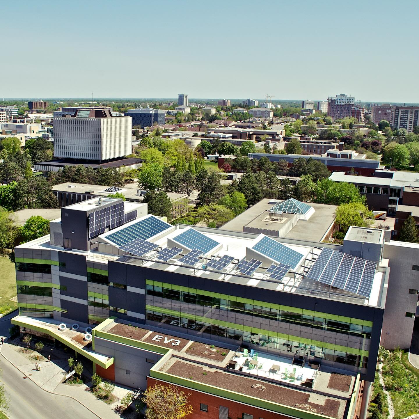
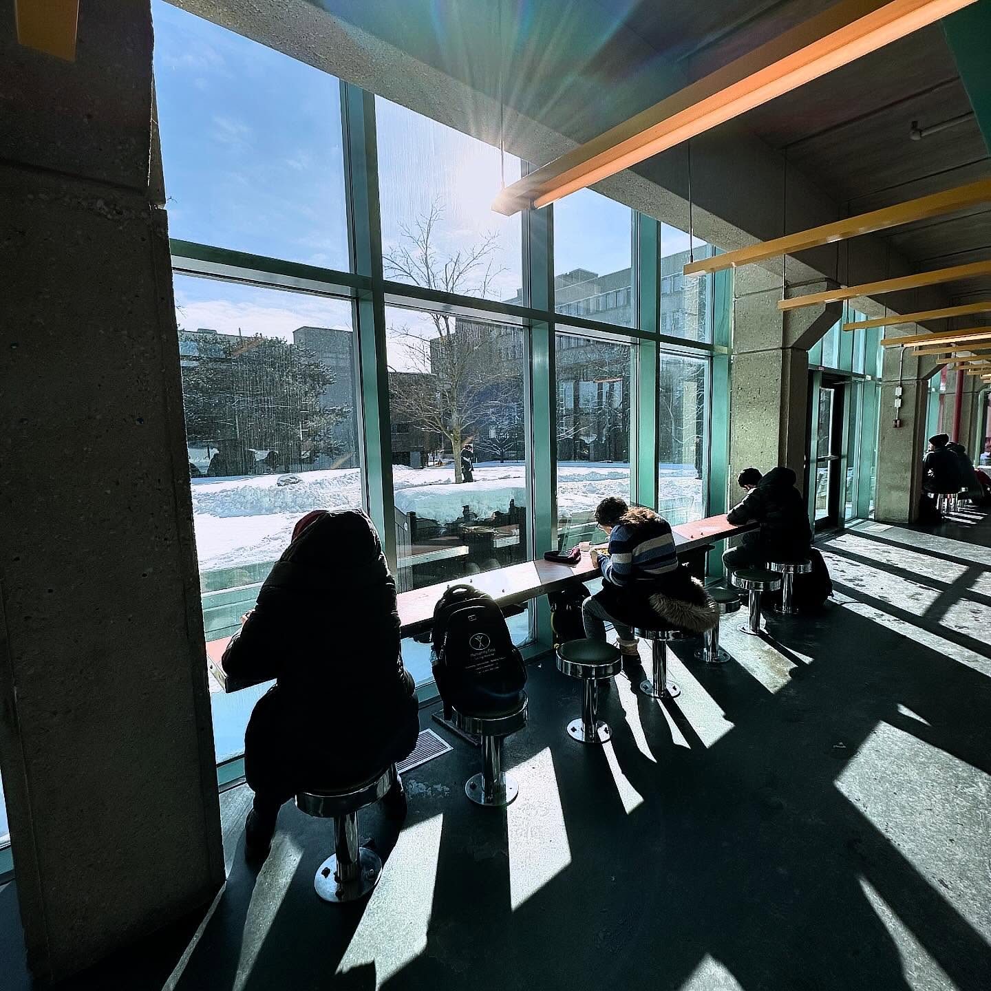
Earn a highly respected geomatics degree while using paid co-op terms to explore careers, earn money, and gain valuable experience with GIS and remote sensing. Geomatics combines computer science with geographic and environmental data analysis to devise data-driven solutions to complex problems. At Waterloo, you will learn to use tools such as remote sensing, computer mapping, geographic information systems (GIS), and GPS to analyze geographic data, understand spatial data, and make meaningful decisions. Graduates will find numerous opportunities to apply their skills in various sectors, including government and private industries, making this program a valuable investment in your future.
Program structure
The Bachelor of Environmental Studies in Geomatics is designed to provide students with a comprehensive understanding of geographic data and its applications. The program is structured as follows:
- Program Length: Typically spans four years.
- Available as a co-op program, allowing students to gain relevant paid work experience.
- Students alternate between study and co-op work terms, integrating classroom learning with real-world experience.
- Students can customize their degree by choosing from various areas of focus, such as Climate Change and Environment or Earth Systems Science.
In addition to core courses, students have the opportunity to take electives from a wide range of subjects, enhancing their educational experience and broadening their skill set.
Featured Experiences
The Geomatics program at Waterloo offers several unique features that enhance the learning experience:
- Paid co-op terms that provide students with valuable work experience and the opportunity to explore various career paths.
- Hands-on training with advanced industry tools and techniques, including remote sensing, drones, and global positioning receivers.
- Access to the world-class Cheriton School of Computer Science for additional computing skills.
- Integration of classroom learning with real-world applications through a structured co-op work-study sequence.
- Small class sizes that foster a supportive learning environment and allow for personalized interaction with professors.
Career Options
Graduates of the Bachelor of Environmental Studies in Geomatics can pursue a variety of career paths in Canada, including:
- Geographic Information System Analyst: Analyze spatial data to support decision-making in various sectors, including urban planning and environmental management.
- Geomatics Analyst: Work with geographic data to assist in public safety and emergency preparedness initiatives.
- Senior Application Analyst: Develop and maintain applications that utilize geographic data for organizations like Accenture.
- Geographic Information System Specialist: Provide expertise in GIS technologies to organizations such as Canacre, focusing on land use and resource management.
- Software Developer: Create software solutions that incorporate geomatics principles, enhancing data analysis and visualization capabilities.
With the skills gained from this program, graduates are well-prepared to enter a rapidly growing field with high demand for qualified professionals.
DISCLAIMER: The information above is subject to change. For the latest updates, please contact LOA Portal's advisors.
Visit University of Waterloo official website