Last updated on 2025-07-31


Program overview
The Geographic Information Systems Ontario College Graduate Certificate program is designed to equip students with essential knowledge and skills in geographic and cartographic science, emphasizing information systems technology. This one-year program combines both hands-on and theoretical approaches, allowing students to delve into various topics such as field data collection, programming, remote sensing, and spatial analysis. A significant aspect of the program is the independent project, which students initiate in their first semester, collaborating with industry or government sponsors to develop and complete their proposals. Additionally, students have the opportunity to gain practical experience through a paid co-operative education (co-op) work term, subject to availability and academic eligibility.
Program structure
The Geographic Information Systems program is structured to provide a comprehensive learning experience over a period of one year. The program includes:
- Hands-on and theoretical learning approaches
- Independent project work in collaboration with industry or government sponsors
- Optional paid co-operative education (co-op) work term, subject to availability and eligibility
Students will engage in various activities that enhance their understanding of geographic information systems, including:
- Field data collection
- Programming and application development
- Remote sensing and spatial analysis
- 2D and 3D cartographic design
- Enterprise geo-database design and management
This program is designed to prepare students for the growing demand for GIS professionals in various sectors.
Featured Experiences
The Geographic Information Systems program offers several unique experiences that enhance learning and professional development:
- Independent Project: Students work on a project of their choice, collaborating with industry or government sponsors to develop and implement their proposals.
- Co-operative Education (Co-op): Students have the option to participate in a paid co-op work term, providing real-world experience and networking opportunities.
- Field Projects: Hands-on activities that give students practical experience in workplace settings, guided by college staff.
- Networking Opportunities: Co-op placements allow students to build connections within the industry, enhancing their career prospects.
Career Options
Graduates of the Geographic Information Systems program can pursue a variety of career paths in Canada, including:
- GIS Analyst: Responsible for analyzing spatial data and creating maps to support decision-making in various sectors.
- Cartographer: Specializes in the design and production of maps, utilizing GIS technology to create accurate and visually appealing representations of geographic data.
- Remote Sensing Specialist: Works with satellite and aerial imagery to analyze and interpret data for environmental monitoring and resource management.
- Urban Planner: Utilizes GIS tools to assist in the planning and development of urban areas, ensuring sustainable growth and efficient land use.
- Environmental Consultant: Applies GIS technology to assess environmental impacts and develop strategies for resource management and conservation.
The implementation of GIS in various business environments is rapidly growing, providing numerous employment opportunities for graduates in this field.
DISCLAIMER: The information above is subject to change. For the latest updates, please contact LOA Portal's advisors.
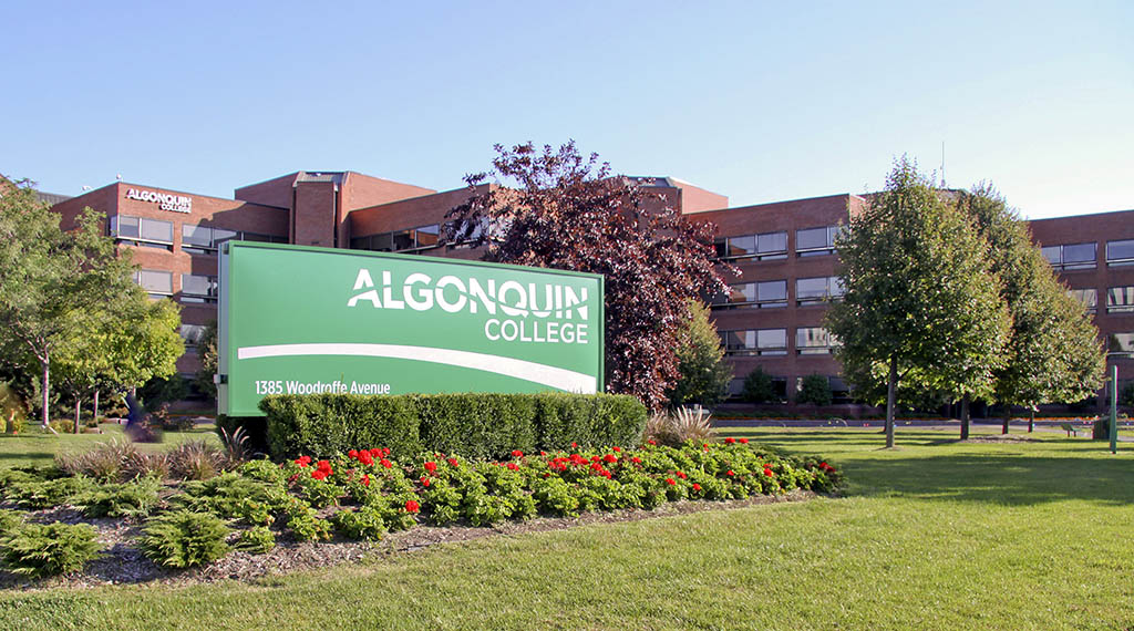
Visit Algonquin College official website