Last updated on 2026-01-15
Program Overview
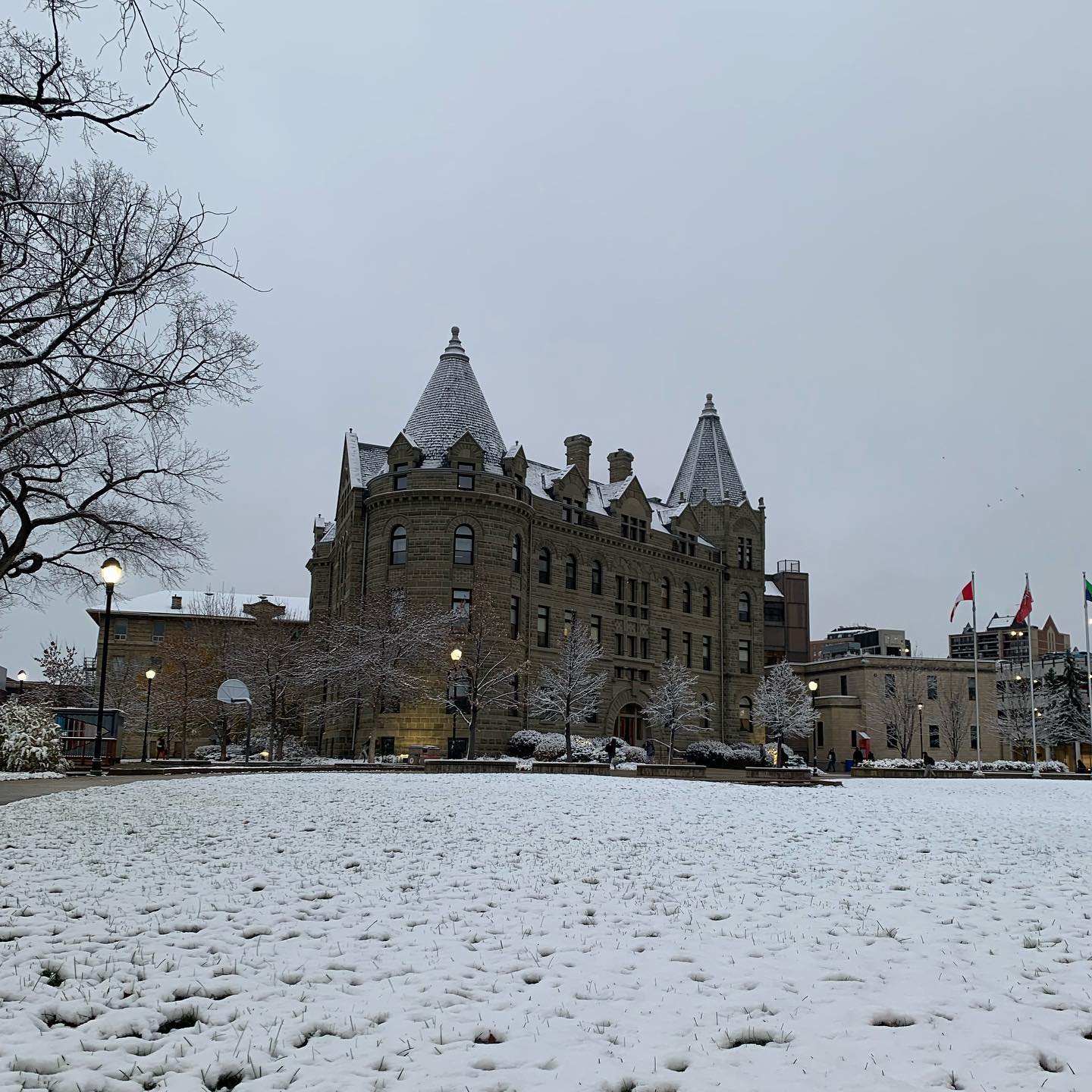
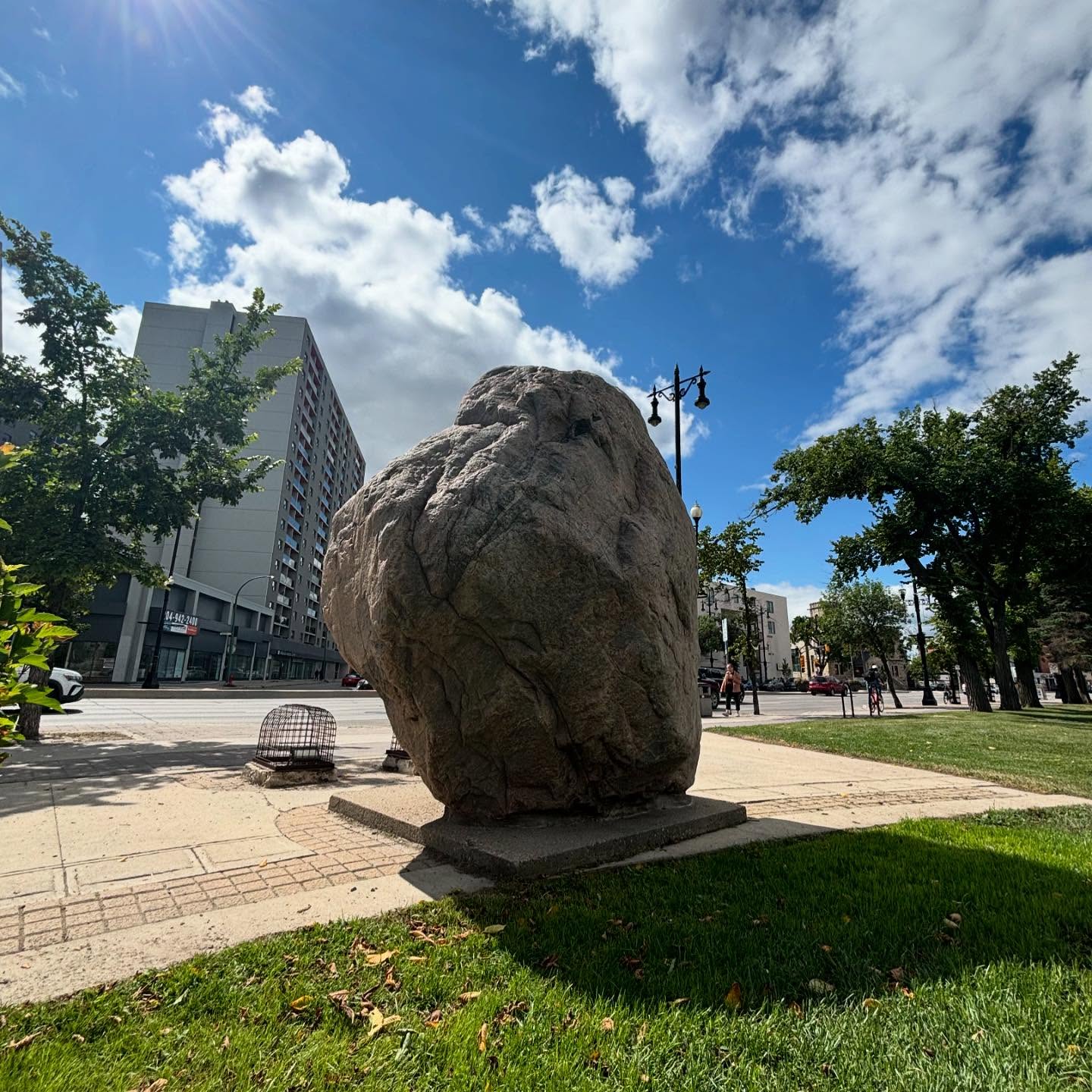
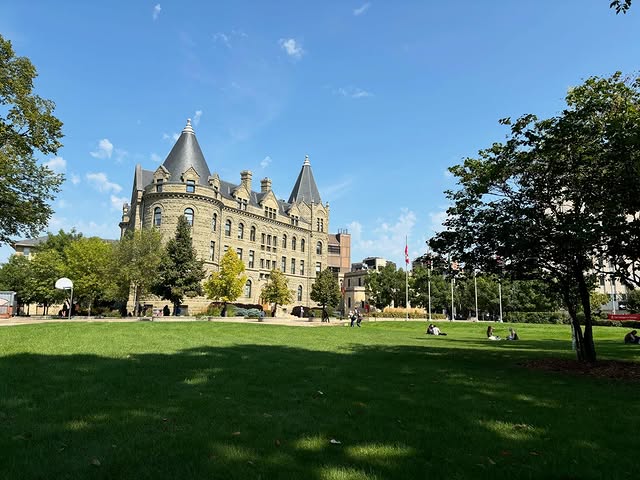
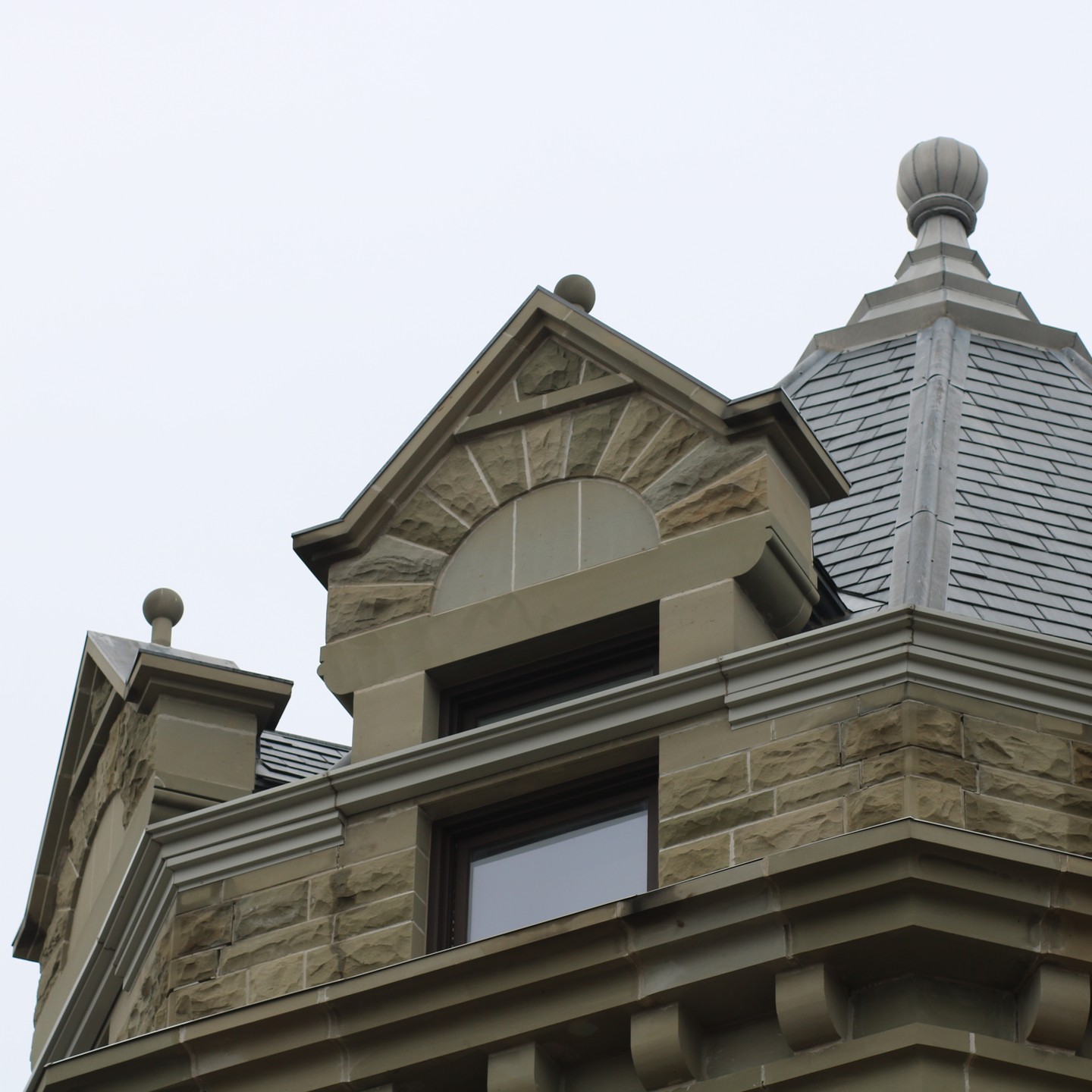
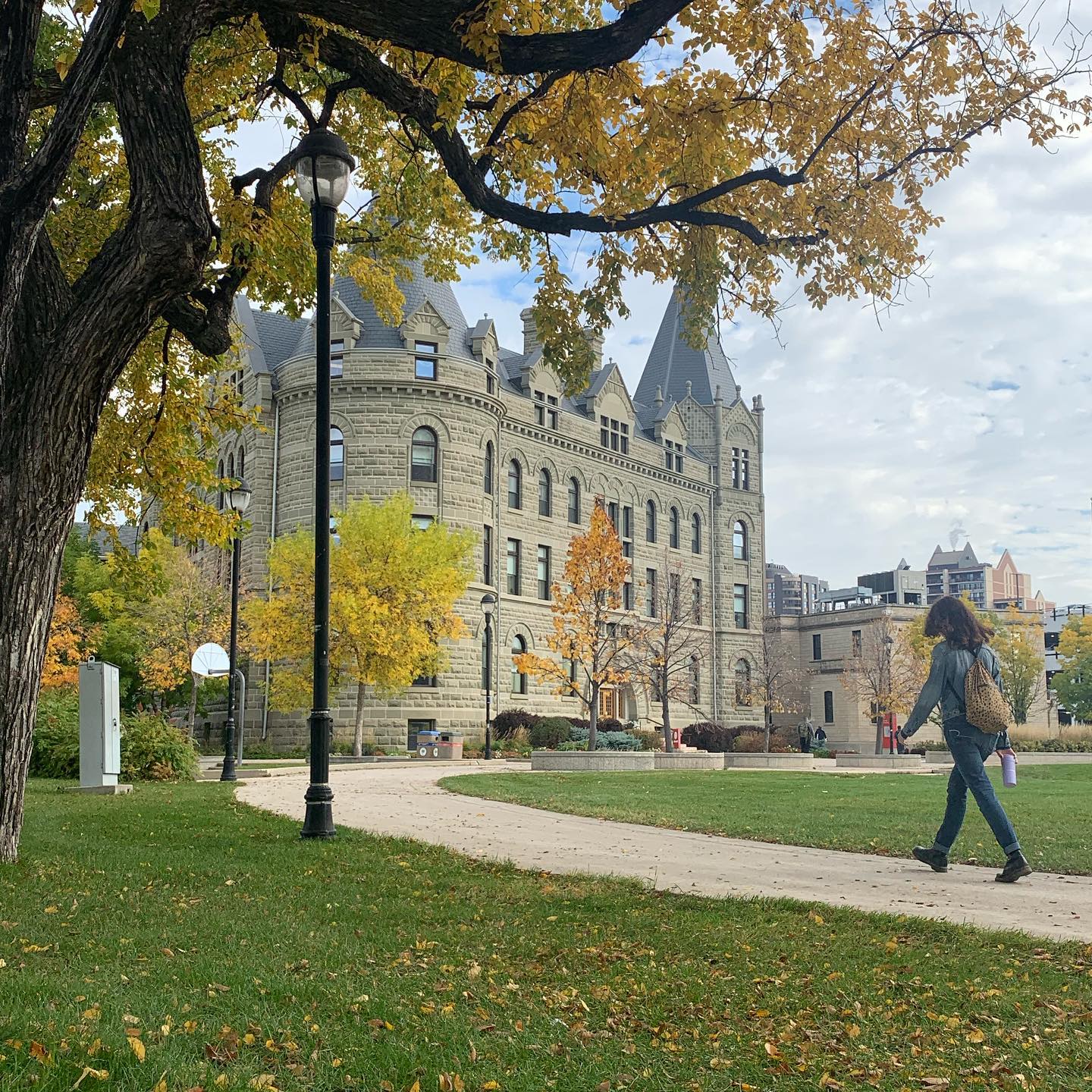
The Bachelor of Arts in Geography at the University of Winnipeg is designed to provide students with a comprehensive understanding of the interactions between humans and their environment. This program emphasizes the importance of geography as a unifying discipline that encompasses both physical and cultural aspects of the world. Students will explore various fields within geography, including physical geography, cultural/human geography, and geomatics, equipping them with valuable insights applicable to numerous professional domains.
Program Structure
The Bachelor of Arts in Geography offers a flexible program structure that allows students to tailor their education to their interests and career goals. The program is available in different formats, including:
- 3-year Bachelor of Arts
- 4-year Bachelor of Arts
- Honours Bachelor of Arts
Students are encouraged to seek advice from faculty members to effectively plan their degree. The program is designed to accommodate various schedules, with courses offered during:
- Fall/Winter Day Sessions (September to April)
- Evening Sessions
- Spring/Summer Sessions
This flexibility ensures that students can manage their workload while meeting all prerequisites for their desired courses.
Featured Experiences
- Opportunities for hands-on learning through fieldwork and practical projects.
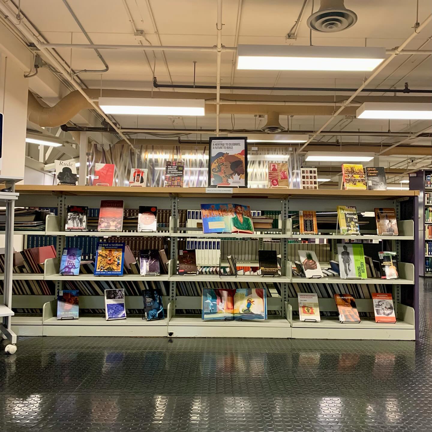
- Access to state-of-the-art facilities and resources within the Department of Geography.
- Engagement in research initiatives that connect students with real-world geographical issues.
- Collaboration with faculty on various projects, enhancing learning and professional development.
Career Options
Graduates of the Bachelor of Arts in Geography can pursue a variety of career paths in Canada, including:
- Urban Planner: Develops plans and programs for land use in urban areas, ensuring sustainable development.
- Environmental Consultant: Advises organizations on environmental best practices and compliance with regulations.
- Geographic Information Systems (GIS) Specialist: Analyzes spatial data to create maps and models for various applications.
- Cartographer: Designs and produces maps, utilizing both traditional and digital techniques.
- Research Analyst: Conducts research on geographical trends and issues, providing insights for policy-making and planning.
DISCLAIMER: The information above is subject to change. For the latest updates, please contact LOA Portal's advisors.
Visit University of Winnipeg official website