Last updated on 2025-11-14


Program overview
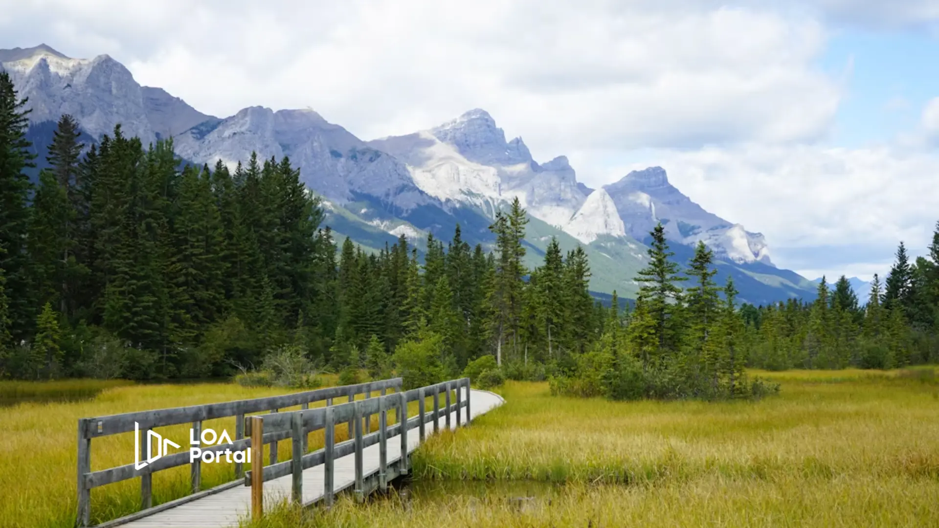
The Bachelor of Science in Environmental Geomatics at the University of Guelph is designed to equip students with essential skills in spatial analysis through Geographic Information Systems (GIS) and remote sensing. This program emphasizes the study of biophysical environments and the analytical techniques necessary for interpreting geographical data. Students will engage in field research, image analysis, and computer modeling, focusing on human-environment interactions and the impacts of human activities on the environment. The program is currently paused for admissions for Fall 2024, but students are encouraged to explore related programs such as the Bachelor of Science in Environmental Sciences.
Program structure
The Bachelor of Science in Environmental Geomatics is structured to provide a comprehensive educational experience over a four-year period, with a co-op option that enhances practical learning. The program includes:
- Program Length: 4 years
- Co-op opportunities that allow students to gain relevant work experience
- Field research combined with theoretical learning
- Hands-on experience with GIS and remote sensing technologies
Students will alternate between academic terms and work terms, allowing them to apply their knowledge in real-world settings. The program is designed to foster both academic and professional growth, preparing students for a variety of career paths in the environmental sector.
Featured Experiences
The Environmental Geomatics program offers several unique features that enhance the learning experience:
- Co-op placements that provide paid work experience and professional networking opportunities
- Access to a dedicated Co-op Coordinator for personalized support during the job search process
- Field research opportunities that allow students to apply theoretical knowledge in practical settings
- Collaboration with senior student mentors for guidance and support
- Integration of advanced technologies such as GIS and remote sensing in coursework
Career Options
Graduates of the Bachelor of Science in Environmental Geomatics can pursue a variety of career paths in Canada, including:
- Geographic Information Analyst: Support GIS teams by operating GIS systems, producing GIS-related products, and automating processes.
- Agri-Environmental Researcher: Conduct literature reviews, assist in field data collection, and prepare reports and maps.
- GIS/Remote Sensing Specialist: Develop remotely-sensed environmental information and enhance GIS skills through project work.
- Environmental Consultant: Provide expert advice on environmental management issues for various clients.
- Field Monitoring Assistant: Assist in environmental monitoring and data collection in various field settings.
Other potential roles include Student Environmental Technician and Assistant Evaluator, with opportunities available in government, academia, and the private sector.
DISCLAIMER: The information above is subject to change. For the latest updates, please contact LOA Portal's advisors.
Visit University of Guelph official website