Last updated on 2026-02-09


Program Overview
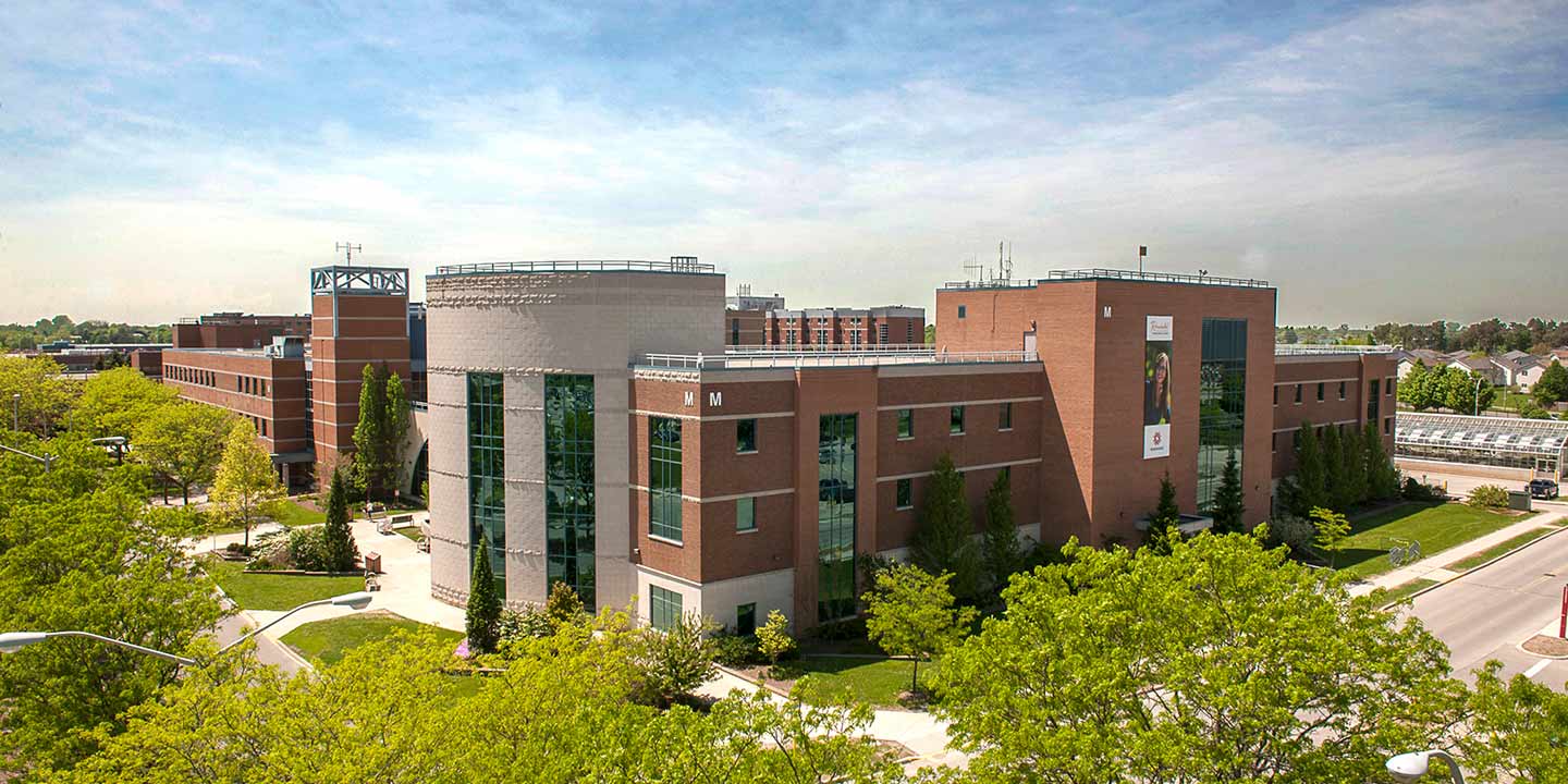
Fanshawe's Geographic Information Systems (GIS) program is designed to equip students with the essential skills and knowledge required for a successful career in the GIS field. This program emphasizes a project-based, software-intensive learning approach, combining hands-on experience with theoretical knowledge. Students will learn to utilize current technologies and develop a unique skill set that is in high demand across both private and public sectors. Graduates will be well-prepared to enter the workforce, ready to tackle real-world challenges in GIS.
Program Structure
The Geographic Information Systems (GIS) program at Fanshawe College is structured to provide a comprehensive educational experience over a 30-week duration. The program is offered in a full-time format, allowing students to immerse themselves in their studies. Key features of the program structure include:
- Project-based learning that emphasizes practical application of skills.
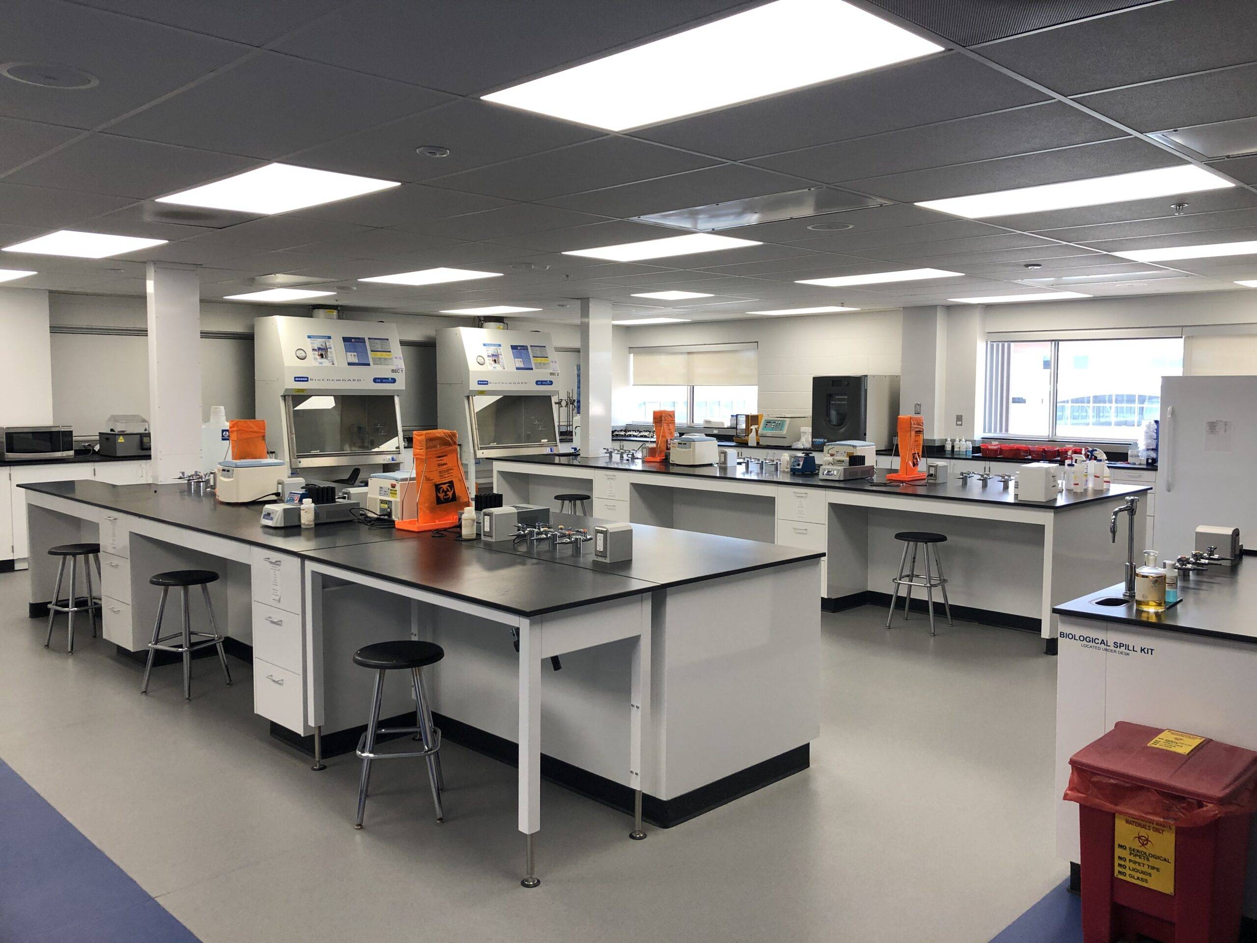
- Access to cutting-edge technology and software relevant to GIS.
- Optional four-month summer co-op work experience with GIS-based employers.
- Flexibility to focus studies in specific areas of expertise within geographic data.
This program is designed to prepare students for various roles in land-based industries that utilize spatial and tabular data, ensuring they gain mastery of foundational GIS skills and leading-edge techniques.
Featured Experiences
The Geographic Information Systems (GIS) program offers several unique experiences that enhance the learning journey:
- Co-op Opportunities: Students can participate in a four-month summer co-op, gaining hands-on experience with GIS-based employers, including government agencies and private industry.
- Project-Based Learning: The curriculum is designed around real-world projects, allowing students to apply their skills in practical scenarios.
- Access to Advanced Technology: Students will work with the latest GIS software and tools, preparing them for the demands of the industry.
- Interdisciplinary Approach: The program integrates knowledge from various fields, enabling students to apply GIS techniques across different disciplines.
Career Options
Graduates of the Geographic Information Systems (GIS) program can explore a variety of career paths in Canada, including:
- GIS Analyst: Responsible for collecting and analyzing geospatial data to create detailed maps and reports.
- GIS Technician: Utilizes GIS applications to identify and analyze wildlife habitats and environmental impacts.
- GIS Specialist: Focuses on plotting spatial data and developing GIS applications to support various projects.
- Geospatial Analyst: Works with geospatial data to provide insights and solutions for urban planning and development.
- GIS Applications Developer: Designs and develops software applications that utilize GIS technology for various industries.
With the growing demand for GIS professionals, graduates can expect to find numerous opportunities in both public and private sectors, contributing to projects that require spatial analysis and data management.
DISCLAIMER: The information above is subject to change. For the latest updates, please contact LOA Portal's advisors.
Visit Fanshawe College official website