Last updated on 2026-05-25

Program Overview
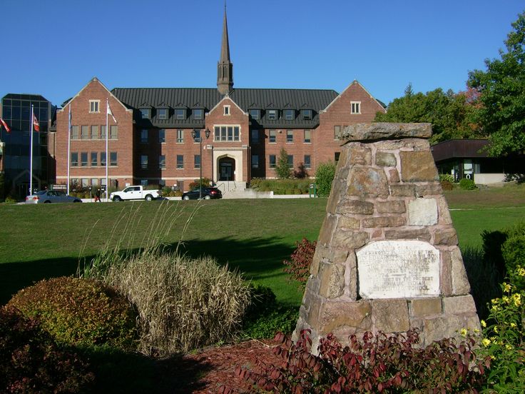
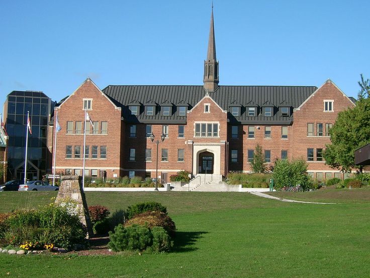
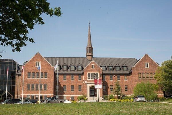
The Geography, Geology and Land Stewardship program at Algoma University is designed for students who are passionate about understanding the intricate relationships between people and their environments. This program is particularly suited for those interested in geographic information systems (GIS), remote sensing, climate change, environmental sustainability, and urban and regional development. Students will delve into four major thematic areas: physical geography, human geography, human-environmental geography, and geomatics. Each area offers unique insights into the processes that shape our world and the interactions between humans and their surroundings.
Physical geography focuses on the dynamic processes that alter the earth's surface, enabling students to identify critical landscape features and understand the formation of various geological structures. Human geography, on the other hand, examines the distribution of populations and the cultural, social, and economic factors that influence human interactions with the environment. Human-environmental geography emphasizes the impact of human activities on the environment, exploring sustainable practices and resource management. Lastly, geomatics introduces students to the tools and techniques used to gather and analyze geographic data, including cartography and remote sensing.
This program not only equips students with theoretical knowledge but also emphasizes hands-on learning experiences, fostering a close-knit community where students can engage with faculty and peers. The program is offered under the written consent of the Minister of Training, Colleges and Universities, ensuring that it meets the educational standards required for a successful career in geography and related fields.
Program Structure
The Geography, Geology and Land Stewardship program is structured to provide a comprehensive education over a four-year period, culminating in a Bachelor of Arts degree. Students are required to complete a total of 120 credits to graduate, which includes core courses, electives, and practical experiences.
Key features of the program structure include:
- Program Length: 4 years
- Total Credits Required: 120 credits
- Hands-on Learning: Opportunities for fieldwork and practical experiences in the third or fourth year.
- Co-op and Internship Options: Students can gain valuable work experience through placements in governmental and private sectors, including opportunities in Northern Ontario and overseas.
This program is designed to be flexible, allowing students to tailor their education to their interests by choosing from various thematic areas. The combination of theoretical knowledge and practical application prepares graduates for a range of career paths in geography and environmental studies.
Featured Experiences
The Geography, Geology and Land Stewardship program offers several unique experiences that enhance the learning journey for students:
- Field Practicum Course: Students can gain hands-on experience in their third or fourth year, with placements available in Northern Ontario and even overseas.
- Geography and Environmental Club: This club provides a platform for students to engage with environmental issues, organize field trips, and participate in community activities.
- Dr. Ken McLarty Research Award: An annual award for students conducting research in the human services field, supporting academic excellence and research initiatives.
- Professional Lands Management Certification Program: A partnership with the National Aboriginal Lands Managers Association to provide certification in land management.
- Taking Care of Our Land Symposium: A symposium focused on cultural and traditional practices of land management, scheduled for May 2026.
These experiences not only enrich the academic curriculum but also foster a sense of community and collaboration among students, faculty, and local organizations.
Career Options
Graduates of the Geography, Geology and Land Stewardship program have a wide array of career opportunities available to them in Canada. Here are some potential job roles along with brief descriptions:
- Cartographer: Specializes in creating maps and visual representations of geographic data, utilizing GIS technology to analyze spatial information.
- Environmental Consultant: Works with organizations to assess environmental impacts, develop sustainability strategies, and ensure compliance with regulations.
- Urban Planner: Involved in the development and design of urban spaces, focusing on land use, community needs, and environmental sustainability.
- Geographic Information Systems (GIS) Analyst: Analyzes spatial data to support decision-making in various sectors, including urban planning, environmental management, and transportation.
- Natural Resource Manager: Oversees the sustainable use and conservation of natural resources, working with communities and organizations to balance ecological health with economic needs.
With the skills and knowledge gained from this program, graduates are well-prepared to make meaningful contributions to their communities and the environment, pursuing careers that align with their passions and expertise.
DISCLAIMER: The information above is subject to change. For the latest updates, please contact LOA Portal's advisors.
Visit Algoma University official website