Last updated on 2025-12-23

Program overview
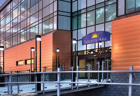
The Bachelor of Arts & Science in Philosophy & Remote Sensing at the University of Lethbridge offers a unique blend of philosophical inquiry and scientific exploration. This program encourages students to delve into fundamental questions about existence, ethics, and the nature of reality while also engaging with the practical applications of remote sensing technology. Students will develop critical thinking skills and a reflective approach to complex issues, preparing them for a variety of career paths. The program emphasizes the importance of understanding both the theoretical and practical aspects of philosophy and science, making it an excellent choice for those interested in interdisciplinary studies.
Program structure
The Bachelor of Arts & Science in Philosophy & Remote Sensing is designed to provide a comprehensive education over a four-year period. The program structure includes:
- Core courses in philosophy and remote sensing
- Optional co-op opportunities to gain practical experience
- Experiential learning through international exchanges and independent studies
- Possibility to declare a concentration in legal reasoning
- Opportunity to complete an honours thesis in the final year for high-achieving students
This program not only equips students with theoretical knowledge but also emphasizes hands-on learning experiences, ensuring that graduates are well-prepared for the workforce or further academic pursuits.
Featured Experiences
The Bachelor of Arts & Science in Philosophy & Remote Sensing offers several unique experiences that enhance the learning journey:
- Co-operative education opportunities available for all majors in the arts & sciences, allowing students to gain real-world experience while studying.
- International exchange programs that enable students to study abroad and gain a global perspective.
- Independent and applied studies that encourage students to engage in research and practical projects.
- Volunteer opportunities that help students develop community engagement skills.
These experiences are designed to enrich the academic curriculum and provide students with valuable skills and insights that are applicable in various professional settings.
Career Options
Graduates of the Bachelor of Arts & Science in Philosophy & Remote Sensing can pursue a wide range of career opportunities in Canada, including:
- TV/Web Documentary Producer: Create and produce engaging content that explores philosophical themes and scientific discoveries.
- Foreign Service Officer: Represent Canada in international relations, utilizing critical thinking and ethical reasoning skills.
- Public Relations Officer: Manage communication strategies for organizations, applying philosophical insights into ethics and public perception.
- Human Resources Personnel: Oversee recruitment and employee relations, using negotiation and analytical skills developed in the program.
- Corporate Proposal Writer: Craft proposals for businesses, integrating philosophical reasoning with practical applications in business contexts.
Additionally, graduates may find opportunities in fields such as education, government, business ethics consulting, and artificial intelligence design, making this program a versatile choice for aspiring professionals.
DISCLAIMER: The information above is subject to change. For the latest updates, please contact LOA Portal's advisors.
Visit UOL - University of Lethbridge official website