Last updated on 2025-12-10


Program Overview
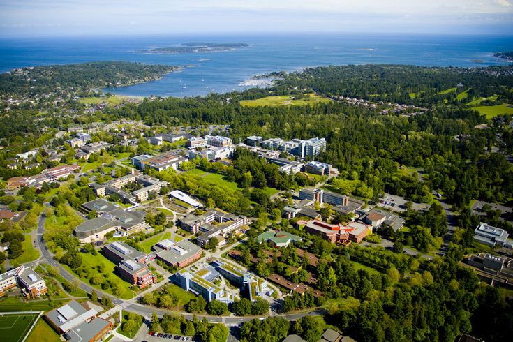
The BSc Geography and Computer Science (Geomatics) program at the University of Victoria is designed for students interested in customizing geographic technology. This unique program combines the fields of geography and computer science, focusing on geomatics. Students will engage with various technologies such as GPS, satellite imagery, and GIS (Geographic Information Systems) to collect, process, analyze, and visualize data. The program aims to equip students with the skills necessary to use maps and data to make a positive impact on the world.
Program Structure
The BSc Geography and Computer Science (Geomatics) program is structured to provide a comprehensive education over a four-year period. Students will have the opportunity to:
- Engage in hands-on learning experiences.
- Participate in co-op or internship opportunities to gain practical experience.
- Explore various areas of focus within geographic information technology and geomatics.
This program is designed to prepare students for a dynamic career in the field, allowing them to declare their major after completing one or more years of full-time study. The curriculum is flexible, enabling students to tailor their education to their interests and career goals.
Featured Experiences
- Hands-on learning opportunities that enhance practical skills.
- Co-op and internship options to gain real-world experience.
- Access to advanced technologies in GPS, satellite imagery, and GIS.
- Collaboration with industry partners for joint projects.
Career Options
Graduates of the BSc Geography and Computer Science (Geomatics) program can pursue a variety of career paths in Canada, including:
- Cartographer: Specializes in creating maps and visual representations of geographic data.
- Emergency Planner: Develops strategies for disaster response and recovery, utilizing geographic data.
- Environmental Assessment Coordinator: Evaluates environmental impacts of projects and ensures compliance with regulations.
- Geographic Information Systems Technologist: Works with GIS technology to analyze spatial data and support decision-making.
- Urban or Regional Planner: Plans and develops land use strategies to improve urban environments and communities.
DISCLAIMER: The information above is subject to change. For the latest updates, please contact LOA Portal's advisors.
Visit University of Victoria official website